

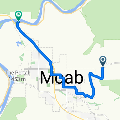
River Route to Potash Road
A cycling route starting in Moab, Utah, United States.
Overview
About this route
- 2 h 43 min
- Duration
- 46.9 km
- Distance
- 336 m
- Ascent
- 337 m
- Descent
- 17.3 km/h
- Avg. speed
- ---
- Max. altitude

Continue with Bikemap
Use, edit, or download this cycling route
You would like to ride River Route to Potash Road or customize it for your own trip? Here is what you can do with this Bikemap route:
Free features
- Save this route as favorite or in collections
- Copy & plan your own version of this route
- Sync your route with Garmin or Wahoo
Premium features
Free trial for 3 days, or one-time payment. More about Bikemap Premium.
- Navigate this route on iOS & Android
- Export a GPX / KML file of this route
- Create your custom printout (try it for free)
- Download this route for offline navigation
Discover more Premium features.
Get Bikemap PremiumFrom our community
Other popular routes starting in Moab
 Porcupine Rim Trail
- Distance
- 22.9 km
- Ascent
- 529 m
- Descent
- 1,054 m
- Location
- Moab, Utah, United States
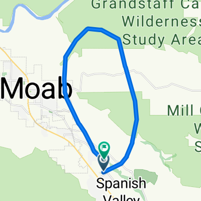
 Moab - Runde
- Distance
- 76.8 km
- Ascent
- 1,470 m
- Descent
- 1,484 m
- Location
- Moab, Utah, United States
 Moab
Moab- Distance
- 17.3 km
- Ascent
- 691 m
- Descent
- 708 m
- Location
- Moab, Utah, United States
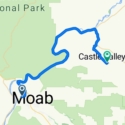 Route in Moab
- Distance
- 37 km
- Ascent
- 988 m
- Descent
- 741 m
- Location
- Moab, Utah, United States
 Portal Long Canyon Mag7 Portal
- Distance
- 72.7 km
- Ascent
- 1,754 m
- Descent
- 1,750 m
- Location
- Moab, Utah, United States
 Moab 100
- Distance
- 159.6 km
- Ascent
- 957 m
- Descent
- 957 m
- Location
- Moab, Utah, United States
 From Moab to Thompson
- Distance
- 10.6 km
- Ascent
- 53 m
- Descent
- 247 m
- Location
- Moab, Utah, United States
 Moab through Arches and Back
- Distance
- 69.8 km
- Ascent
- 1,017 m
- Descent
- 1,024 m
- Location
- Moab, Utah, United States
Open it in the app