

Pietralba, Capanna nuova, malga laab, pietralba
- 13.6 km
- 597 m
- 596 m
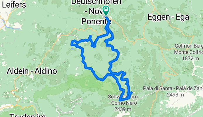
- Deutschnofen, Trentino-Alto Adige, Italy
A cycling route starting in Deutschnofen, Trentino-Alto Adige, Italy.
Overview
9.Jochgrimmtour 30 km. 950 hm
created this 17 years ago
Route quality
Track
19.8 km
69 %
Quiet road
2.9 km
10 %
Paved
4.9 km
(17 %)
Unpaved
20.9 km
(73 %)
Gravel
11.2 km
39 %
Unpaved (undefined)
8 km
28 %
Continue with Bikemap
You would like to ride Jochgrimmtour / Rosengarten-Latemar or customize it for your own trip? Here is what you can do with this Bikemap route:
Free trial for 3 days, or one-time payment. More about Bikemap Premium.
Discover more Premium features.
Get Bikemap PremiumFrom our community
Open it in the app


