

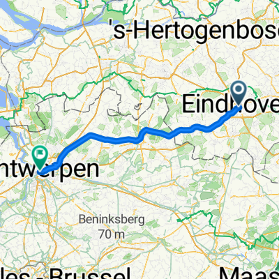
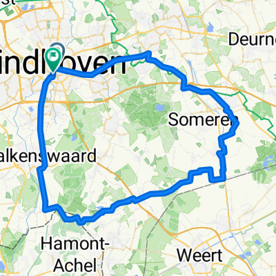
Middagrit
A cycling route starting in Eindhoven, North Brabant, The Netherlands.
Overview
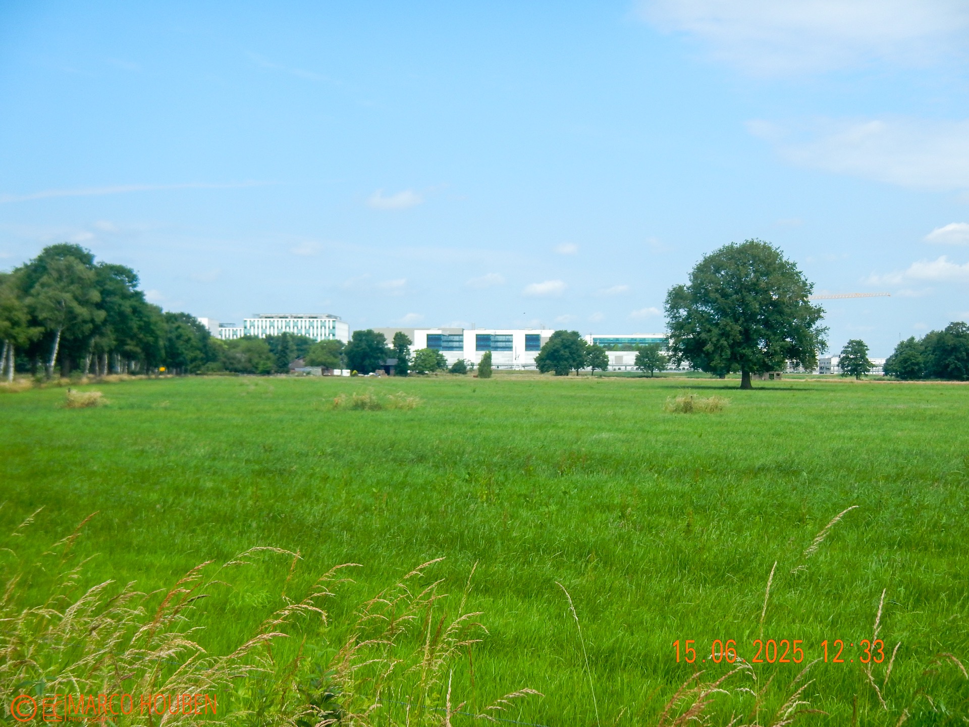
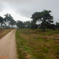
About this route
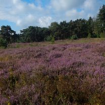
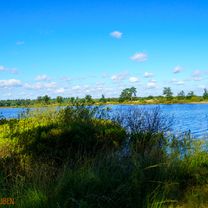
Zalig & Snel rondje
- -:--
- Duration
- 45.1 km
- Distance
- 109 m
- Ascent
- 107 m
- Descent
- ---
- Avg. speed
- ---
- Max. altitude

Route quality
Waytypes & surfaces along the route
Waytypes
Cycleway
32.5 km
(72 %)
Quiet road
8.1 km
(18 %)
Road
4.5 km
(10 %)
Surfaces
Paved
28.9 km
(64 %)
Asphalt
23 km
(51 %)
Concrete
5.9 km
(13 %)
Undefined
16.2 km
(36 %)
Continue with Bikemap
Use, edit, or download this cycling route
You would like to ride Middagrit or customize it for your own trip? Here is what you can do with this Bikemap route:
Free features
- Save this route as favorite or in collections
- Copy & plan your own version of this route
- Sync your route with Garmin or Wahoo
Premium features
Free trial for 3 days, or one-time payment. More about Bikemap Premium.
- Navigate this route on iOS & Android
- Export a GPX / KML file of this route
- Create your custom printout (try it for free)
- Download this route for offline navigation
Discover more Premium features.
Get Bikemap PremiumFrom our community
Other popular routes starting in Eindhoven
 Markt までGroenplaats
- Distance
- 90.8 km
- Ascent
- 84 m
- Descent
- 93 m
- Location
- Eindhoven, North Brabant, The Netherlands
 Valkenswaard
- Distance
- 49.4 km
- Ascent
- 133 m
- Descent
- 133 m
- Location
- Eindhoven, North Brabant, The Netherlands
 Ochtendrit op gravelbike
- Distance
- 41.9 km
- Ascent
- 77 m
- Descent
- 77 m
- Location
- Eindhoven, North Brabant, The Netherlands
 Ochtendrit Rondje Strabrechtse heide
- Distance
- 38.6 km
- Ascent
- 33 m
- Descent
- 34 m
- Location
- Eindhoven, North Brabant, The Netherlands
 75km - Eindhoven SE Loop incl. Achelse Kluis
- Distance
- 75 km
- Ascent
- 74 m
- Descent
- 73 m
- Location
- Eindhoven, North Brabant, The Netherlands
 Door de Malpi &; Leenderbos
- Distance
- 51 km
- Ascent
- 97 m
- Descent
- 94 m
- Location
- Eindhoven, North Brabant, The Netherlands
 Fietsbrug over de Dommel – Dommelvallei rondtocht
- Distance
- 34.9 km
- Ascent
- 13 m
- Descent
- 13 m
- Location
- Eindhoven, North Brabant, The Netherlands
 Ochtendrit andere route naar Strabrechtse heide
- Distance
- 43.7 km
- Ascent
- 84 m
- Descent
- 82 m
- Location
- Eindhoven, North Brabant, The Netherlands
Open it in the app