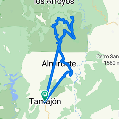
Madrid - Ibarrangelu, dia 2
A cycling route starting in Tamaj贸n, Castille-La Mancha, Spain.
Overview
About this route
- 7 h 20 min
- Duration
- 59.2 km
- Distance
- 1,411 m
- Ascent
- 1,080 m
- Descent
- 8.1 km/h
- Avg. speed
- ---
- Avg. speed
Route photos
Route quality
Waytypes & surfaces along the route
Waytypes
Road
32.7 km
(55 %)
Busy road
15.6 km
(26 %)
Surfaces
Paved
3.6 km
(6 %)
Unpaved
6 km
(10 %)
Ground
3.6 km
(6 %)
Asphalt
3.6 km
(6 %)
Continue with Bikemap
Use, edit, or download this cycling route
You would like to ride Madrid - Ibarrangelu, dia 2 or customize it for your own trip? Here is what you can do with this Bikemap route:
Free features
- Save this route as favorite or in collections
- Copy & plan your own version of this route
- Sync your route with Garmin or Wahoo
Premium features
Free trial for 3 days, or one-time payment. More about Bikemap Premium.
- Navigate this route on iOS & Android
- Export a GPX / KML file of this route
- Create your custom printout (try it for free)
- Download this route for offline navigation
Discover more Premium features.
Get Bikemap PremiumFrom our community
Other popular routes starting in Tamaj贸n
- Titan de Tamajon
- Distance
- 153.2 km
- Ascent
- 1,944 m
- Descent
- 1,944 m
- Location
- Tamaj贸n, Castille-La Mancha, Spain
- De Calle de Enmedio 25, Tamaj贸n a Traves铆a Primera 1, Tamaj贸n
- Distance
- 43.1 km
- Ascent
- 767 m
- Descent
- 589 m
- Location
- Tamaj贸n, Castille-La Mancha, Spain
- Madrid - Ibarrangelu, dia 2
- Distance
- 59.2 km
- Ascent
- 1,411 m
- Descent
- 1,080 m
- Location
- Tamaj贸n, Castille-La Mancha, Spain
- Vuelta desde Tamaj贸n
- Distance
- 121.7 km
- Ascent
- 1,682 m
- Descent
- 1,681 m
- Location
- Tamaj贸n, Castille-La Mancha, Spain
- GU-188, Retiendas to Calle Picota s/n, Tamaj贸n
- Distance
- 13.4 km
- Ascent
- 33 m
- Descent
- 62 m
- Location
- Tamaj贸n, Castille-La Mancha, Spain
- Ruta Sierra 15: 117 Km 2293 m - "La Quesera"
- Distance
- 112.6 km
- Ascent
- 1,698 m
- Descent
- 1,699 m
- Location
- Tamaj贸n, Castille-La Mancha, Spain
- Tamaj贸n
- Distance
- 175.3 km
- Ascent
- 2,083 m
- Descent
- 2,076 m
- Location
- Tamaj贸n, Castille-La Mancha, Spain
- Camino Olvidadp: Tamaj贸n+Retiendas+Monasterio+Retiendas+Tamaj贸n
- Distance
- 14.6 km
- Ascent
- 331 m
- Descent
- 333 m
- Location
- Tamaj贸n, Castille-La Mancha, Spain
Open it in the app