

zwickau - erzgebirge
Zwickau: Runde ins Erzgebirge | Alternative
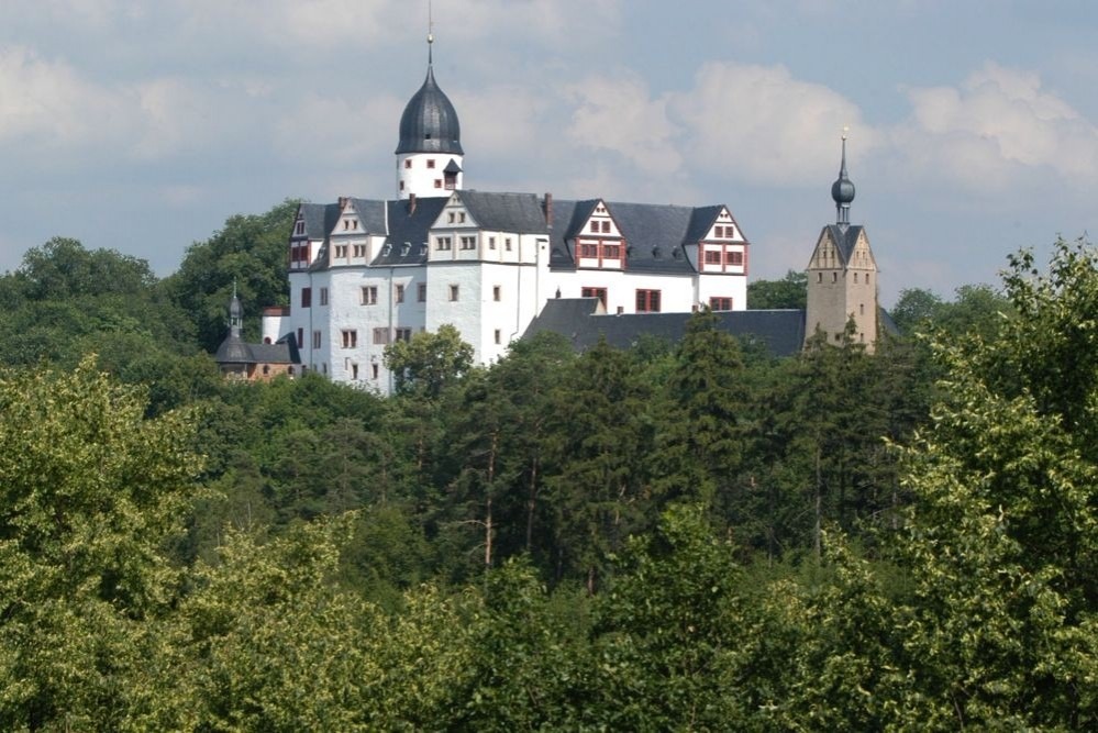
A cycling route starting in Zwickau, Saxony, Germany.
Overview
About this route
Mountain with a 20% gradient in the forest between Stein and Wildbach. Alternative: the Mulderad route along the Mulde between Hartenstein and Bad Schlema - but it is not recommended, as it is a main road.
Path between Bad Schlema and Neustädtel often narrow, caution with hikers and oncoming traffic.
Section from Niedercrinitz very narrow - seems to only be a hiking path.
Essentially without the road between Hartenstein and Leutersbach, otherwise as https://www.bikemap.net/de/r/7031342
- -:--
- Duration
- 72.3 km
- Distance
- 1,157 m
- Ascent
- 1,155 m
- Descent
- ---
- Avg. speed
- ---
- Max. altitude

Part of
6 stages
Route quality
Waytypes & surfaces along the route
Waytypes
Track
32.5 km
(45 %)
Quiet road
13.7 km
(19 %)
Surfaces
Paved
23.9 km
(33 %)
Unpaved
35.4 km
(49 %)
Asphalt
19.5 km
(27 %)
Gravel
18.8 km
(26 %)
Continue with Bikemap
Use, edit, or download this cycling route
You would like to ride Zwickau: Runde ins Erzgebirge | Alternative or customize it for your own trip? Here is what you can do with this Bikemap route:
Free features
- Save this route as favorite or in collections
- Copy & plan your own version of this route
- Sync your route with Garmin or Wahoo
Premium features
Free trial for 3 days, or one-time payment. More about Bikemap Premium.
- Navigate this route on iOS & Android
- Export a GPX / KML file of this route
- Create your custom printout (try it for free)
- Download this route for offline navigation
Discover more Premium features.
Get Bikemap PremiumFrom our community
Other popular routes starting in Zwickau
 Zwickau: Nord-West-Runde nach Thüringen
- Distance
- 86.5 km
- Ascent
- 618 m
- Descent
- 618 m
- Location
- Zwickau, Saxony, Germany
 20250521_Zwickauer_Mulde_Etappe 3
- Distance
- 45.1 km
- Ascent
- 345 m
- Descent
- 399 m
- Location
- Zwickau, Saxony, Germany
 Weißenborn Marienthal
- Distance
- 17.4 km
- Ascent
- 210 m
- Descent
- 221 m
- Location
- Zwickau, Saxony, Germany
 Rund ums Absetzbecken
- Distance
- 16.4 km
- Ascent
- 164 m
- Descent
- 163 m
- Location
- Zwickau, Saxony, Germany
 Zwickau-Mulderadweg-Schneppendorf
- Distance
- 26.4 km
- Ascent
- 33 m
- Descent
- 48 m
- Location
- Zwickau, Saxony, Germany
 Zwickau-Brand-Fernblick-Singletrail-Zwickau
- Distance
- 14.3 km
- Ascent
- 128 m
- Descent
- 128 m
- Location
- Zwickau, Saxony, Germany
 ZEV Radtour 2019
- Distance
- 61.4 km
- Ascent
- 582 m
- Descent
- 584 m
- Location
- Zwickau, Saxony, Germany
 Schönwetterrunde (Ausflug)
- Distance
- 64.6 km
- Ascent
- 482 m
- Descent
- 484 m
- Location
- Zwickau, Saxony, Germany
Open it in the app