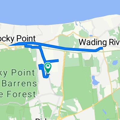
Wading River-Stony Brook
- 64.1 km
- 354 m
- 354 m
- East Shoreham, New York, United States
A cycling route starting in East Shoreham, New York, United States.
Overview
Climbing practice: Old Post Rd.
created this 15 years ago
Route quality
Road
43 km
(67 %)
Quiet road
7.7 km
(12 %)
Paved
10.3 km
(16 %)
Asphalt
10.3 km
(16 %)
Undefined
53.9 km
(84 %)
Route highlights
Hill: Old Post Rd (Port Jeff) Shore Rd to top of hill
Hill: Old Post Rd (Port Jeff) Crystal Brook to Puritan Path
Continue with Bikemap
You would like to ride Wading River-Stony Brook or customize it for your own trip? Here is what you can do with this Bikemap route:
Free trial for 3 days, or one-time payment. More about Bikemap Premium.
Discover more Premium features.
Get Bikemap PremiumFrom our community
Open it in the app