

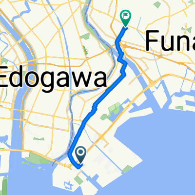
江戸川サイクリングロード 両岸で一回り
A cycling route starting in Urayasu, Tokyo, Japan.
Overview
About this route
- 8 h 27 min
- Duration
- 124 km
- Distance
- 273 m
- Ascent
- 291 m
- Descent
- 14.7 km/h
- Avg. speed
- ---
- Max. altitude

Route quality
Waytypes & surfaces along the route
Waytypes
Cycleway
91.7 km
(74 %)
Pedestrian area
21.1 km
(17 %)
Surfaces
Paved
62 km
(50 %)
Paved (undefined)
52.1 km
(42 %)
Asphalt
9.9 km
(8 %)
Undefined
62 km
(50 %)
Continue with Bikemap
Use, edit, or download this cycling route
You would like to ride 江戸川サイクリングロード 両岸で一回り or customize it for your own trip? Here is what you can do with this Bikemap route:
Free features
- Save this route as favorite or in collections
- Copy & plan your own version of this route
- Split it into stages to create a multi-day tour
- Sync your route with Garmin or Wahoo
Premium features
Free trial for 3 days, or one-time payment. More about Bikemap Premium.
- Navigate this route on iOS & Android
- Export a GPX / KML file of this route
- Create your custom printout (try it for free)
- Download this route for offline navigation
Discover more Premium features.
Get Bikemap PremiumFrom our community
Other popular routes starting in Urayasu
 JR新木場 to JR舞浜 26.02km
- Distance
- 26 km
- Ascent
- 63 m
- Descent
- 69 m
- Location
- Urayasu, Tokyo, Japan
 2011-AUG-28 Green Line (TCC ride)
- Distance
- 205.6 km
- Ascent
- 723 m
- Descent
- 722 m
- Location
- Urayasu, Tokyo, Japan
 6丁目 3, 市川市 to 6丁目 3, 市川市
- Distance
- 27.1 km
- Ascent
- 110 m
- Descent
- 113 m
- Location
- Urayasu, Tokyo, Japan
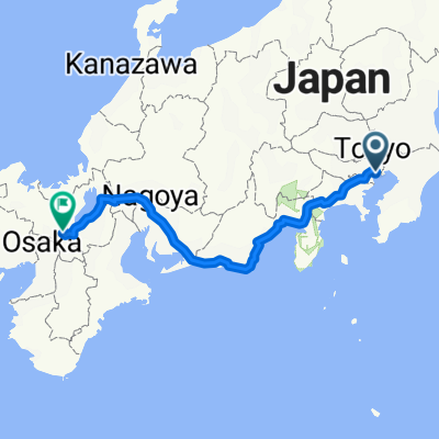 Tokyo - Kyoto
- Distance
- 638.8 km
- Ascent
- 5,699 m
- Descent
- 5,655 m
- Location
- Urayasu, Tokyo, Japan
 弁天4丁目, 浦安市へ八幡2丁目, 市川市
- Distance
- 12.6 km
- Ascent
- 27 m
- Descent
- 22 m
- Location
- Urayasu, Tokyo, Japan
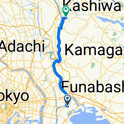 行徳駅前1丁目, 市川市へ三輪野山3丁目, 流山市
- Distance
- 25.9 km
- Ascent
- 63 m
- Descent
- 49 m
- Location
- Urayasu, Tokyo, Japan
 Tour-Punky
- Distance
- 13.5 km
- Ascent
- 32 m
- Descent
- 35 m
- Location
- Urayasu, Tokyo, Japan
 Steady ride in Minato-Ku
- Distance
- 14.3 km
- Ascent
- 0 m
- Descent
- 28 m
- Location
- Urayasu, Tokyo, Japan
Open it in the app