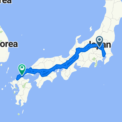
LoJ: Fukuoka to Tokyo
- 2,104.3 km
- 62 m
- 150 m
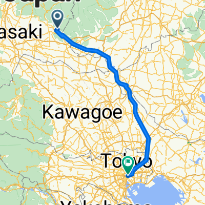
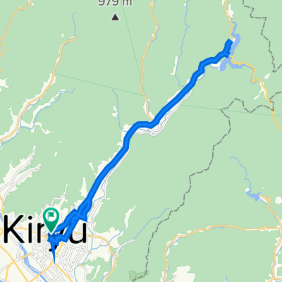
- Kiryū, Gunma, Japan
A cycling route starting in Kiryū, Gunma, Japan.
Overview
created this 5 years ago
Route quality
Cycleway
18.6 km
(61 %)
Access road
4.3 km
(14 %)
Paved
2.1 km
(7 %)
Unpaved
0.9 km
(3 %)
Asphalt
1.2 km
(4 %)
Paved (undefined)
0.9 km
(3 %)
Continue with Bikemap
You would like to ride 渡良瀬川自転車道 or customize it for your own trip? Here is what you can do with this Bikemap route:
Free trial for 3 days, or one-time payment. More about Bikemap Premium.
Discover more Premium features.
Get Bikemap PremiumFrom our community
Open it in the app