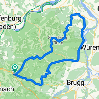
Frick - Rixheim
- 69 km
- 241 m
- 340 m
- Frick, Canton of Aargau, Switzerland
Start beim Schwimmbad in Frick
A-Frick-Magden.Frick
1 stage

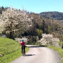
Quiet road
31.5 km44 %Track
16.5 km23 %Paved
50.2 km(70 %)Unpaved
12.9 km(18 %)Asphalt
45.9 km64 %Gravel
11.5 km16 %Free trial for 3 days, or one-time payment. More about Bikemap Premium.
Discover more Premium features.
Get Bikemap PremiumOpen it in the app