

Strinz-Wispertal-Laufenselden-Strinz
A cycling route starting in Burgschwalbach, Rhineland-Palatinate, Germany.
Overview
About this route
Beautiful circuit; Strinz towards Aartal to Kettenbach. Turn left to Bad Schwalbach. Through Schwalbach towards Wispertal (Lorch). Turn at Laukenmühle towards Espenschied. Through Welterod, Strüth and Zorn towards Laufenselden. In Laufenselden take L3321 towards Aartal. Upon reaching Aartal, follow the B54 back to Kettenbach and back to Strinz. The route has beautiful climbs, but also beautiful descents.
- -:--
- Duration
- 84.6 km
- Distance
- 1,400 m
- Ascent
- 1,440 m
- Descent
- ---
- Avg. speed
- 522 m
- Max. altitude
Route quality
Waytypes & surfaces along the route
Waytypes
Track
5.9 km
(7 %)
Quiet road
3.4 km
(4 %)
Surfaces
Paved
38.9 km
(46 %)
Unpaved
6.8 km
(8 %)
Asphalt
38.1 km
(45 %)
Gravel
4.2 km
(5 %)
Continue with Bikemap
Use, edit, or download this cycling route
You would like to ride Strinz-Wispertal-Laufenselden-Strinz or customize it for your own trip? Here is what you can do with this Bikemap route:
Free features
- Save this route as favorite or in collections
- Copy & plan your own version of this route
- Split it into stages to create a multi-day tour
- Sync your route with Garmin or Wahoo
Premium features
Free trial for 3 days, or one-time payment. More about Bikemap Premium.
- Navigate this route on iOS & Android
- Export a GPX / KML file of this route
- Create your custom printout (try it for free)
- Download this route for offline navigation
Discover more Premium features.
Get Bikemap PremiumFrom our community
Other popular routes starting in Burgschwalbach
 Im Hopfengarten 7, Hünstetten nach Im Hopfengarten 7, Hünstetten
- Distance
- 28.2 km
- Ascent
- 443 m
- Descent
- 454 m
- Location
- Burgschwalbach, Rhineland-Palatinate, Germany
 Testrunde
- Distance
- 15.6 km
- Ascent
- 340 m
- Descent
- 339 m
- Location
- Burgschwalbach, Rhineland-Palatinate, Germany
 steine im taunus
- Distance
- 1.4 km
- Ascent
- 87 m
- Descent
- 78 m
- Location
- Burgschwalbach, Rhineland-Palatinate, Germany
 Hohenweg 7, Hünstetten nach Im Kleinen Feldchen 2, Burgschwalbach
- Distance
- 30.1 km
- Ascent
- 579 m
- Descent
- 694 m
- Location
- Burgschwalbach, Rhineland-Palatinate, Germany
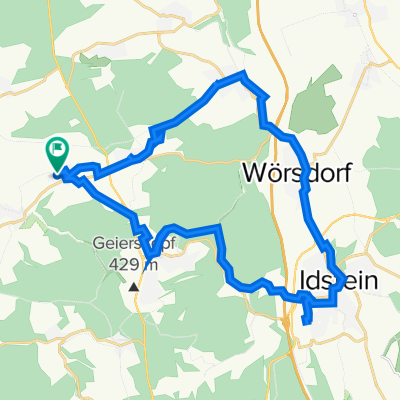
 Strinz-Wörsdorf-Idstein-Strinz
- Distance
- 25.7 km
- Ascent
- 413 m
- Descent
- 406 m
- Location
- Burgschwalbach, Rhineland-Palatinate, Germany
 Ahnenroute 495km - Tag 5 - von Burgschwalbach nach Oppenheim
- Distance
- 70.7 km
- Ascent
- 923 m
- Descent
- 977 m
- Location
- Burgschwalbach, Rhineland-Palatinate, Germany
 Abendrunde
- Distance
- 24.9 km
- Ascent
- 308 m
- Descent
- 326 m
- Location
- Burgschwalbach, Rhineland-Palatinate, Germany
 Strinz-Erich Fill Strecke - Strinz
- Distance
- 46.7 km
- Ascent
- 695 m
- Descent
- 700 m
- Location
- Burgschwalbach, Rhineland-Palatinate, Germany
Open it in the app