

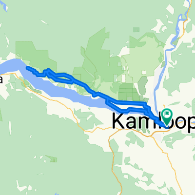
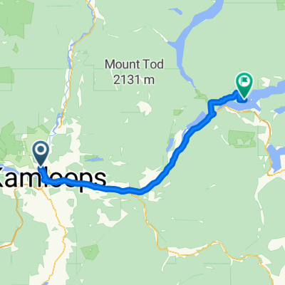
RockyMt1200
A cycling route starting in Kamloops, British Columbia, Canada.
Overview
About this route
Note I (Peter-DG) did not "create" this route - I mapped this to resolve a problem anther biker was having with the mapping of this route - it is his route.
- -:--
- Duration
- 1,191.2 km
- Distance
- 3,222 m
- Ascent
- 3,223 m
- Descent
- ---
- Avg. speed
- ---
- Max. altitude

Continue with Bikemap
Use, edit, or download this cycling route
You would like to ride RockyMt1200 or customize it for your own trip? Here is what you can do with this Bikemap route:
Free features
- Save this route as favorite or in collections
- Copy & plan your own version of this route
- Split it into stages to create a multi-day tour
- Sync your route with Garmin or Wahoo
Premium features
Free trial for 3 days, or one-time payment. More about Bikemap Premium.
- Navigate this route on iOS & Android
- Export a GPX / KML file of this route
- Create your custom printout (try it for free)
- Download this route for offline navigation
Discover more Premium features.
Get Bikemap PremiumFrom our community
Other popular routes starting in Kamloops
 VC8-KamKam
- Distance
- 10 km
- Ascent
- 44 m
- Descent
- 324 m
- Location
- Kamloops, British Columbia, Canada
 Mount Dufferin Avenue 1505, Kamloops to Mount Dufferin Avenue 1505, Kamloops
- Distance
- 8.5 km
- Ascent
- 197 m
- Descent
- 196 m
- Location
- Kamloops, British Columbia, Canada
 eastshuswap - eastshuswap
- Distance
- 44.2 km
- Ascent
- 177 m
- Descent
- 177 m
- Location
- Kamloops, British Columbia, Canada
 Rocky Mountain 1200 Brevet - 2004
- Distance
- 1,173.1 km
- Ascent
- 3,072 m
- Descent
- 3,077 m
- Location
- Kamloops, British Columbia, Canada
 Dank Route - Tranquil
- Distance
- 79.1 km
- Ascent
- 820 m
- Descent
- 817 m
- Location
- Kamloops, British Columbia, Canada
 Kamloops to Scotch Creek
- Distance
- 92.9 km
- Ascent
- 281 m
- Descent
- 310 m
- Location
- Kamloops, British Columbia, Canada
 Kamloops to Pritchard Round Trip
- Distance
- 95.5 km
- Ascent
- 291 m
- Descent
- 292 m
- Location
- Kamloops, British Columbia, Canada
 Jamieson, Vidette, Savona - 1 Nighter
- Distance
- 282.4 km
- Ascent
- 2,634 m
- Descent
- 2,624 m
- Location
- Kamloops, British Columbia, Canada
Open it in the app