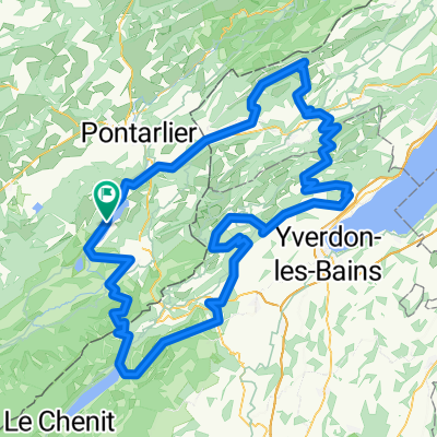
2 Rundtour Le Jura St.Point - Mijoux
A cycling route starting in Les Fourgs, Bourgogne-Franche-Comté, France.
Overview
About this route
rund 88 km mit knapp 900m Steigung, die angenehm zu fahren sind. - gefahren mit Trekkingrad mit ca 25 kg Gepäck in gut 7 Stunden
- -:--
- Duration
- 78.9 km
- Distance
- 843 m
- Ascent
- 704 m
- Descent
- ---
- Avg. speed
- ---
- Avg. speed
Continue with Bikemap
Use, edit, or download this cycling route
You would like to ride 2 Rundtour Le Jura St.Point - Mijoux or customize it for your own trip? Here is what you can do with this Bikemap route:
Free features
- Save this route as favorite or in collections
- Copy & plan your own version of this route
- Sync your route with Garmin or Wahoo
Premium features
Free trial for 3 days, or one-time payment. More about Bikemap Premium.
- Navigate this route on iOS & Android
- Export a GPX / KML file of this route
- Create your custom printout (try it for free)
- Download this route for offline navigation
Discover more Premium features.
Get Bikemap PremiumFrom our community
Other popular routes starting in Les Fourgs
- 2 Rundtour Le Jura St.Point - Mijoux
- Distance
- 78.9 km
- Ascent
- 843 m
- Descent
- 704 m
- Location
- Les Fourgs, Bourgogne-Franche-Comté, France
- St-Point - Narlay
- Distance
- 125 km
- Ascent
- 2,087 m
- Descent
- 2,086 m
- Location
- Les Fourgs, Bourgogne-Franche-Comté, France
- 3 St.Point Lac - Lélex
- Distance
- 75.9 km
- Ascent
- 795 m
- Descent
- 539 m
- Location
- Les Fourgs, Bourgogne-Franche-Comté, France
- 2 Rund um St.Point 2
- Distance
- 67.5 km
- Ascent
- 633 m
- Descent
- 633 m
- Location
- Les Fourgs, Bourgogne-Franche-Comté, France
- FA03 Chezery Forens
- Distance
- 98.8 km
- Ascent
- 893 m
- Descent
- 1,175 m
- Location
- Les Fourgs, Bourgogne-Franche-Comté, France
- 64km-540Hm
- Distance
- 64.3 km
- Ascent
- 447 m
- Descent
- 449 m
- Location
- Les Fourgs, Bourgogne-Franche-Comté, France
- 2 Rund um Saint Point
- Distance
- 70.8 km
- Ascent
- 635 m
- Descent
- 627 m
- Location
- Les Fourgs, Bourgogne-Franche-Comté, France
- Boucle "Les Fourgs-Les Fourgs" via col de l'Aiguillon, le balcon du Jura, le val de Travers, l'Auberson
- Distance
- 76.4 km
- Ascent
- 1,136 m
- Descent
- 1,137 m
- Location
- Les Fourgs, Bourgogne-Franche-Comté, France
Open it in the app