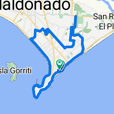
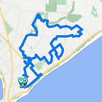
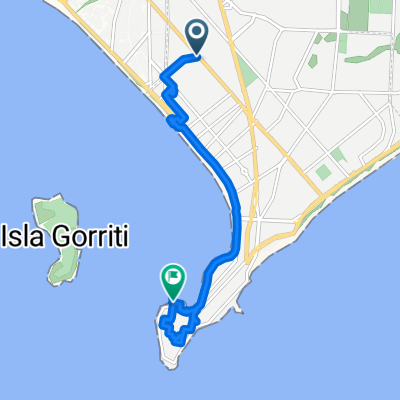
punta del este a chuy
A cycling route starting in Punta del Este, Maldonado Department, Uruguay.
Overview
About this route
- -:--
- Duration
- 256.9 km
- Distance
- 281 m
- Ascent
- 280 m
- Descent
- ---
- Avg. speed
- ---
- Avg. speed
Route highlights
Points of interest along the route
Point of interest after 34.7 km
balsa travessia Laguna Garzón
Point of interest after 53 km
Km 208 - acesso à Rocha
Point of interest after 67 km
TRAVESSIA LAGUNA DE ROCHA (deve-se obter informações com os locais para saber se esta sendo possivel a travessia a pé (areia com volume, aprox. 1 km empurrando a bike - economia de 30 km ).
Point of interest after 84.8 km
Camping La Aguada
Point of interest after 128.7 km
Centro Turistico Cabo Polonio - (caminhões para translado até o cabo)
Point of interest after 136.5 km
Camping Valizas
Point of interest after 139.2 km
restaurante Rita
Point of interest after 192.8 km
Camping ( particular - alternativo )
Point of interest after 196.8 km
Ponta Praia - Banho nas Pedras
Point of interest after 205.1 km
Acesso Parque Nacional Forte Santa Tereza
Point of interest after 209.6 km
Areás de Camping
Point of interest after 211.2 km
Forte Santa Tereza
Point of interest after 242 km
Camping Chuy
Point of interest after 243.4 km
Barra Chuy - Uruguai
Point of interest after 247.1 km
Barra do Chui - Brasil
Continue with Bikemap
Use, edit, or download this cycling route
You would like to ride punta del este a chuy or customize it for your own trip? Here is what you can do with this Bikemap route:
Free features
- Save this route as favorite or in collections
- Copy & plan your own version of this route
- Sync your route with Garmin or Wahoo
Premium features
Free trial for 3 days, or one-time payment. More about Bikemap Premium.
- Navigate this route on iOS & Android
- Export a GPX / KML file of this route
- Create your custom printout (try it for free)
- Download this route for offline navigation
Discover more Premium features.
Get Bikemap PremiumFrom our community
Other popular routes starting in Punta del Este
- De Patagonia 26, Punta del Este a Patagonia 26, Punta del Este
- Distance
- 12.6 km
- Ascent
- 61 m
- Descent
- 59 m
- Location
- Punta del Este, Maldonado Department, Uruguay
- 1- Punta - Chiuahua
- Distance
- 17.6 km
- Ascent
- 104 m
- Descent
- 91 m
- Location
- Punta del Este, Maldonado Department, Uruguay
- 30 km - Vuelta Punta
- Distance
- 31.4 km
- Ascent
- 135 m
- Descent
- 135 m
- Location
- Punta del Este, Maldonado Department, Uruguay
- 35 km - Mansa hasta Lag Sauce
- Distance
- 35 km
- Ascent
- 199 m
- Descent
- 199 m
- Location
- Punta del Este, Maldonado Department, Uruguay
- 80 km - Punta del Este
- Distance
- 80.1 km
- Ascent
- 241 m
- Descent
- 242 m
- Location
- Punta del Este, Maldonado Department, Uruguay
- 50 km - Mansa por Interbalnearia
- Distance
- 25.1 km
- Ascent
- 144 m
- Descent
- 128 m
- Location
- Punta del Este, Maldonado Department, Uruguay
- 31 km - Ida y Vuelta - Costa Brava hasta Barra
- Distance
- 15.7 km
- Ascent
- 85 m
- Descent
- 98 m
- Location
- Punta del Este, Maldonado Department, Uruguay
- la barra camino medellin
- Distance
- 45.7 km
- Ascent
- 195 m
- Descent
- 197 m
- Location
- Punta del Este, Maldonado Department, Uruguay
Open it in the app