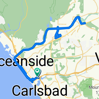
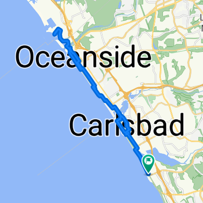
CDT2010 Day 8 CLONED FROM ROUTE 528432
- 94.2 km
- 330 m
- 345 m
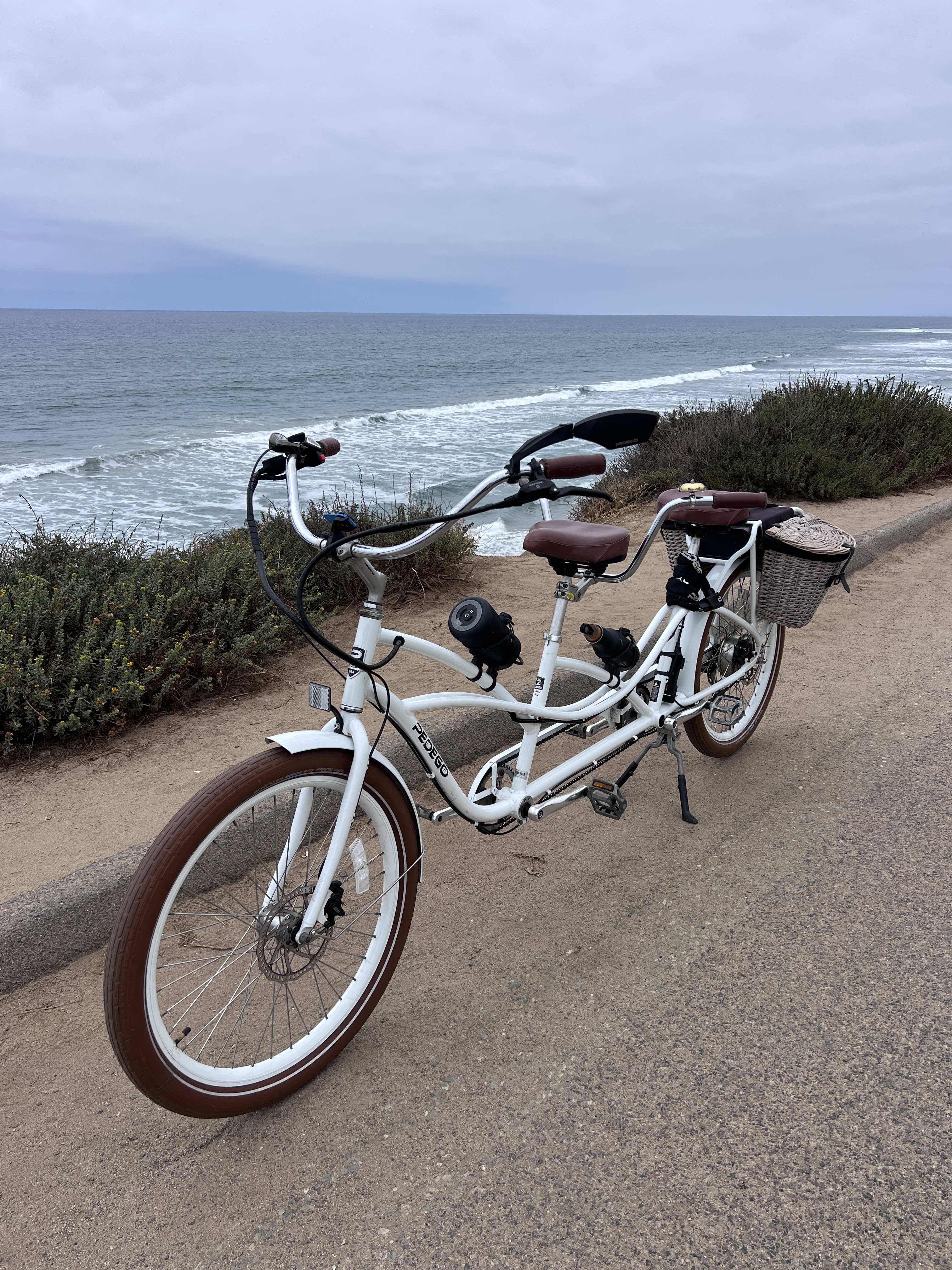
- Carlsbad, California, United States
Quiet road
3.5 km11 %Access road
1.6 km5 %Paved
17 km(54 %)Asphalt
16.7 km53 %Concrete
0.3 km1 %Undefined
14.5 km46 %Free trial for 3 days, or one-time payment. More about Bikemap Premium.
Discover more Premium features.
Get Bikemap PremiumOpen it in the app