Black peak reef
A cycling route starting in Ribnica na Pohorju, Ribnica na Pohorju, Slovenia.
Overview
About this route
E-xplore the beauties of Western Pohorje with the child's enthusiasm and e-njoy in nature like never before.
- 6 h 58 min
- Duration
- 33.9 km
- Distance
- 1,457 m
- Ascent
- 1,456 m
- Descent
- 4.9 km/h
- Avg. speed
- ---
- Avg. speed
Route quality
Waytypes & surfaces along the route
Waytypes
Track
16.2 km
(48 %)
Road
11.3 km
(33 %)
Surfaces
Paved
4.9 km
(14 %)
Unpaved
27.3 km
(80 %)
Gravel
18.9 km
(56 %)
Ground
5.6 km
(16 %)
Continue with Bikemap
Use, edit, or download this cycling route
You would like to ride Black peak reef or customize it for your own trip? Here is what you can do with this Bikemap route:
Free features
- Save this route as favorite or in collections
- Copy & plan your own version of this route
- Sync your route with Garmin or Wahoo
Premium features
Free trial for 3 days, or one-time payment. More about Bikemap Premium.
- Navigate this route on iOS & Android
- Export a GPX / KML file of this route
- Create your custom printout (try it for free)
- Download this route for offline navigation
Discover more Premium features.
Get Bikemap PremiumFrom our community
Other popular routes starting in Ribnica na Pohorju
- Ribnica-Podvleka-Fala-Činžat-Puščava-Lovrenc na Pohorju-Janževski vrh-Josipdol-Ribnica
- Distance
- 51 km
- Ascent
- 819 m
- Descent
- 792 m
- Location
- Ribnica na Pohorju, Ribnica na Pohorju, Slovenia
- Ribnica na Pohorju 5:4 (Palirjevo)
- Distance
- 13.3 km
- Ascent
- 552 m
- Descent
- 552 m
- Location
- Ribnica na Pohorju, Ribnica na Pohorju, Slovenia
- #blackpeak pesnik3
- Distance
- 7.4 km
- Ascent
- 309 m
- Descent
- 308 m
- Location
- Ribnica na Pohorju, Ribnica na Pohorju, Slovenia
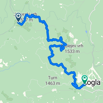
- Quick bike tour through Ribnica na Pohorju
- Distance
- 1.1 km
- Ascent
- 20 m
- Descent
- 25 m
- Location
- Ribnica na Pohorju, Ribnica na Pohorju, Slovenia
- Black peak reef
- Distance
- 33.9 km
- Ascent
- 1,457 m
- Descent
- 1,456 m
- Location
- Ribnica na Pohorju, Ribnica na Pohorju, Slovenia
- HOOT BOREAL OWL - HOOT BOREAL OWL on GPSies.com
- Distance
- 24.1 km
- Ascent
- 1,093 m
- Descent
- 1,096 m
- Location
- Ribnica na Pohorju, Ribnica na Pohorju, Slovenia
- SLIVNICA OKP 5-3
- Distance
- 8.5 km
- Ascent
- 294 m
- Descent
- 320 m
- Location
- Ribnica na Pohorju, Ribnica na Pohorju, Slovenia
- #blackpeak pesnik1
- Distance
- 10.2 km
- Ascent
- 444 m
- Descent
- 442 m
- Location
- Ribnica na Pohorju, Ribnica na Pohorju, Slovenia
Open it in the app