

Meandering route to Castle Combe Race Circuit via Slad, Sapperton, Cherrington, Chavenage, Tetbury, Malmesbury, Badminton & Castle Combe village
A cycling route starting in Stroud, England, United Kingdom.
Overview
About this route
Some steep climbs until Cherrington, then fast undulating lanes in Wiltshire.
- -:--
- Duration
- 84.7 km
- Distance
- 493 m
- Ascent
- 528 m
- Descent
- ---
- Avg. speed
- ---
- Max. altitude

Route quality
Waytypes & surfaces along the route
Waytypes
Quiet road
43.2 km
(51 %)
Road
11 km
(13 %)
Surfaces
Paved
24.6 km
(29 %)
Unpaved
1.7 km
(2 %)
Asphalt
22 km
(26 %)
Paved (undefined)
2.5 km
(3 %)
Continue with Bikemap
Use, edit, or download this cycling route
You would like to ride Meandering route to Castle Combe Race Circuit via Slad, Sapperton, Cherrington, Chavenage, Tetbury, Malmesbury, Badminton & Castle Combe village or customize it for your own trip? Here is what you can do with this Bikemap route:
Free features
- Save this route as favorite or in collections
- Copy & plan your own version of this route
- Split it into stages to create a multi-day tour
- Sync your route with Garmin or Wahoo
Premium features
Free trial for 3 days, or one-time payment. More about Bikemap Premium.
- Navigate this route on iOS & Android
- Export a GPX / KML file of this route
- Create your custom printout (try it for free)
- Download this route for offline navigation
Discover more Premium features.
Get Bikemap PremiumFrom our community
Other popular routes starting in Stroud
 Whiteshill to Cirencester
- Distance
- 33.7 km
- Ascent
- 254 m
- Descent
- 309 m
- Location
- Stroud, England, United Kingdom
 Whiteshill to Gloucester via Stonehouse, Standish, Epney, canal path to docks & cathedral, Hardwicke Stonehouse, Ruscombe & return
- Distance
- 57.9 km
- Ascent
- 288 m
- Descent
- 332 m
- Location
- Stroud, England, United Kingdom
 Bowbridge-Minch
- Distance
- 12.1 km
- Ascent
- 246 m
- Descent
- 246 m
- Location
- Stroud, England, United Kingdom
 Painswick Haresfield loop
- Distance
- 22.8 km
- Ascent
- 488 m
- Descent
- 486 m
- Location
- Stroud, England, United Kingdom
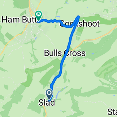 Slad Road, Stroud to Bisley Street, Stroud
- Distance
- 4.6 km
- Ascent
- 131 m
- Descent
- 102 m
- Location
- Stroud, England, United Kingdom
 Whiteshill to Nailsworth, Avening, Cherrington, Sapperton, Duntisbourne Abbotts, Winstone, Syde, Brimpsfield, Birdlip, Bulls Cross & home
- Distance
- 55.5 km
- Ascent
- 496 m
- Descent
- 499 m
- Location
- Stroud, England, United Kingdom
 Whiteshill to Arlingham peninsula, Severn Vale & back
- Distance
- 62.3 km
- Ascent
- 265 m
- Descent
- 270 m
- Location
- Stroud, England, United Kingdom
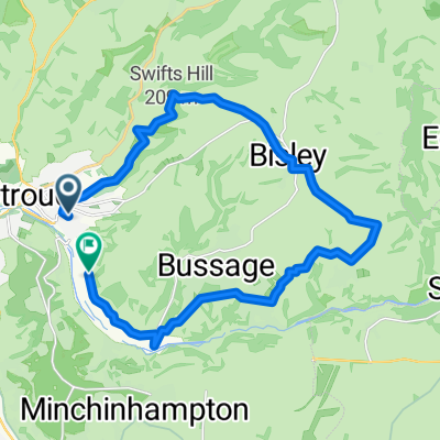 Bowbridge - Bisley - Chalford - and back
- Distance
- 19.3 km
- Ascent
- 399 m
- Descent
- 400 m
- Location
- Stroud, England, United Kingdom
Open it in the app