

TianZiFang to PanPac Suzhou Rd Bike
A cycling route starting in Luwan, Shanghai Municipality, China.
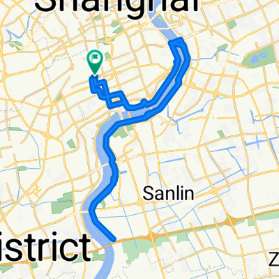
Overview
About this route
- 4 h 31 min
- Duration
- 90.3 km
- Distance
- 42 m
- Ascent
- 38 m
- Descent
- 20 km/h
- Avg. speed
- ---
- Max. altitude
Continue with Bikemap
Use, edit, or download this cycling route
You would like to ride TianZiFang to PanPac Suzhou Rd Bike or customize it for your own trip? Here is what you can do with this Bikemap route:
Free features
- Save this route as favorite or in collections
- Copy & plan your own version of this route
- Split it into stages to create a multi-day tour
- Sync your route with Garmin or Wahoo
Premium features
Free trial for 3 days, or one-time payment. More about Bikemap Premium.
- Navigate this route on iOS & Android
- Export a GPX / KML file of this route
- Create your custom printout (try it for free)
- Download this route for offline navigation
Discover more Premium features.
Get Bikemap PremiumFrom our community
Other popular routes starting in Luwan
 Lange Radrunde durch Shanghai
- Distance
- 33 km
- Ascent
- 48 m
- Descent
- 50 m
- Location
- Luwan, Shanghai Municipality, China
 新场古镇
新场古镇- Distance
- 29.4 km
- Ascent
- 23 m
- Descent
- 25 m
- Location
- Luwan, Shanghai Municipality, China
 ROSH Ocean Ride East
- Distance
- 31 km
- Ascent
- 39 m
- Descent
- 51 m
- Location
- Luwan, Shanghai Municipality, China
 vianney
- Distance
- 50.3 km
- Ascent
- 971 m
- Descent
- 977 m
- Location
- Luwan, Shanghai Municipality, China
 LRA classic
- Distance
- 3.6 km
- Ascent
- 3 m
- Descent
- 6 m
- Location
- Luwan, Shanghai Municipality, China
 ROSH Suzhou Creek Bridges
- Distance
- 25 km
- Ascent
- 136 m
- Descent
- 144 m
- Location
- Luwan, Shanghai Municipality, China
 五一苏州行
五一苏州行- Distance
- 276.4 km
- Ascent
- 63 m
- Descent
- 60 m
- Location
- Luwan, Shanghai Municipality, China
 TianZiFang to PanPac Suzhou Rd Bike
- Distance
- 90.3 km
- Ascent
- 42 m
- Descent
- 38 m
- Location
- Luwan, Shanghai Municipality, China
Open it in the app