Casere - TauernAlm - Rif.Vetta d'Italia
- 15.3 km
- 968 m
- 966 m
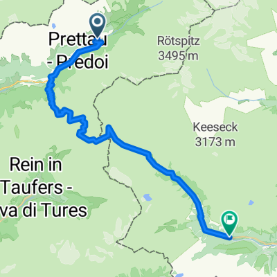
- Prettau, Trentino-Alto Adige, Italy
A cycling route starting in Prettau, Trentino-Alto Adige, Italy.
Overview
UISP Trentino Valle Aurina
created this 5 years ago
Route quality
Quiet road
13.6 km
(31 %)
Track
7.5 km
(17 %)
Paved
28.2 km
(64 %)
Unpaved
7.5 km
(17 %)
Asphalt
26.4 km
(60 %)
Unpaved (undefined)
2.2 km
(5 %)
Continue with Bikemap
You would like to ride UISP Trentino Valle Aurina or customize it for your own trip? Here is what you can do with this Bikemap route:
Free trial for 3 days, or one-time payment. More about Bikemap Premium.
Discover more Premium features.
Get Bikemap PremiumFrom our community
Open it in the app