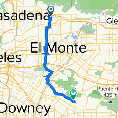
2908–2956 New York Dr, Pasadena to New York Dr, Pasadena
- 1.2 km
- 15 m
- 25 m
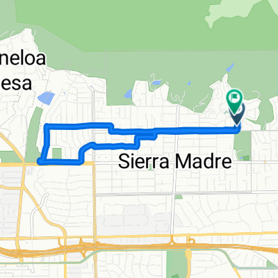
- Sierra Madre, California, United States
Quiet road
10.4 km39 %Road
10.1 km38 %Paved
17.3 km(65 %)Asphalt
17.3 km65 %Undefined
9.3 km35 %Free trial for 3 days, or one-time payment. More about Bikemap Premium.
Discover more Premium features.
Get Bikemap PremiumOpen it in the app