

MTB Geising über Rabenau nach Striesen
A cycling route starting in Geising, Saxony, Germany.
Overview
About this route
- -:--
- Duration
- 65.6 km
- Distance
- 361 m
- Ascent
- 873 m
- Descent
- ---
- Avg. speed
- ---
- Max. altitude
Route quality
Waytypes & surfaces along the route
Waytypes
Track
25.6 km
(39 %)
Road
12.5 km
(19 %)
Surfaces
Paved
38.1 km
(58 %)
Unpaved
21.7 km
(33 %)
Asphalt
36.8 km
(56 %)
Gravel
9.8 km
(15 %)
Route highlights
Points of interest along the route
Drinking water after 9.4 km
Lugsteinbaude
Drinking water after 21.6 km
Bärenfelser Stüb'l - Biergarten
Drinking water after 21.6 km
Naturhotel und Gasthof Bärenfels
Continue with Bikemap
Use, edit, or download this cycling route
You would like to ride MTB Geising über Rabenau nach Striesen or customize it for your own trip? Here is what you can do with this Bikemap route:
Free features
- Save this route as favorite or in collections
- Copy & plan your own version of this route
- Sync your route with Garmin or Wahoo
Premium features
Free trial for 3 days, or one-time payment. More about Bikemap Premium.
- Navigate this route on iOS & Android
- Export a GPX / KML file of this route
- Create your custom printout (try it for free)
- Download this route for offline navigation
Discover more Premium features.
Get Bikemap PremiumFrom our community
Other popular routes starting in Geising
 erste meter
- Distance
- 9.3 km
- Ascent
- 202 m
- Descent
- 202 m
- Location
- Geising, Saxony, Germany
 Fürstenwalde Umrundung
- Distance
- 20.8 km
- Ascent
- 343 m
- Descent
- 345 m
- Location
- Geising, Saxony, Germany
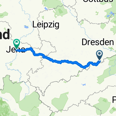 Geising - Jena, 2 Tage
- Distance
- 222.1 km
- Ascent
- 957 m
- Descent
- 1,534 m
- Location
- Geising, Saxony, Germany
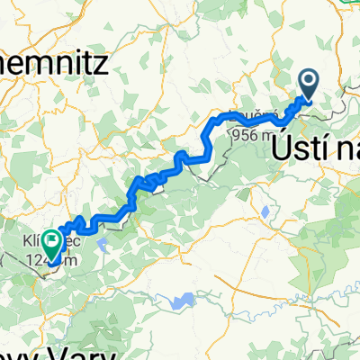
 Služebka, Cínovec - DL - Klíny
- Distance
- 33.3 km
- Ascent
- 274 m
- Descent
- 415 m
- Location
- Geising, Saxony, Germany
 MEC-2012 MadEastLight
- Distance
- 40.7 km
- Ascent
- 918 m
- Descent
- 921 m
- Location
- Geising, Saxony, Germany
 Kammtour - Geising nach Schöneck
- Distance
- 201.6 km
- Ascent
- 2,111 m
- Descent
- 1,936 m
- Location
- Geising, Saxony, Germany
 Geising - Oberwiesenthal
- Distance
- 123.5 km
- Ascent
- 1,426 m
- Descent
- 1,000 m
- Location
- Geising, Saxony, Germany
 MTB Geising über Rabenau nach Striesen
- Distance
- 65.6 km
- Ascent
- 361 m
- Descent
- 873 m
- Location
- Geising, Saxony, Germany
Open it in the app