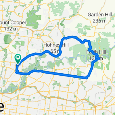
Work Route
A cycling route starting in Heidelberg Heights, Victoria, Australia.
Overview
About this route
Reservior station to ventura bus
- -:--
- Duration
- 5.7 km
- Distance
- 36 m
- Ascent
- 19 m
- Descent
- ---
- Avg. speed
- ---
- Max. altitude
Route quality
Waytypes & surfaces along the route
Waytypes
Cycleway
2.9 km
(51 %)
Quiet road
1.4 km
(24 %)
Surfaces
Paved
5.6 km
(98 %)
Concrete
2.7 km
(47 %)
Paved (undefined)
1.6 km
(28 %)
Continue with Bikemap
Use, edit, or download this cycling route
You would like to ride Work Route or customize it for your own trip? Here is what you can do with this Bikemap route:
Free features
- Save this route as favorite or in collections
- Copy & plan your own version of this route
- Sync your route with Garmin or Wahoo
Premium features
Free trial for 3 days, or one-time payment. More about Bikemap Premium.
- Navigate this route on iOS & Android
- Export a GPX / KML file of this route
- Create your custom printout (try it for free)
- Download this route for offline navigation
Discover more Premium features.
Get Bikemap PremiumFrom our community
Other popular routes starting in Heidelberg Heights
- Hberg route
- Distance
- 19.2 km
- Ascent
- 129 m
- Descent
- 129 m
- Location
- Heidelberg Heights, Victoria, Australia
- 24 Lloyd Street, Heidelberg Heights to 24 Lloyd Street, Heidelberg Heights
- Distance
- 10 km
- Ascent
- 79 m
- Descent
- 78 m
- Location
- Heidelberg Heights, Victoria, Australia
- Rosanna / Eltham / Warrandyte Loop
- Distance
- 40.5 km
- Ascent
- 504 m
- Descent
- 504 m
- Location
- Heidelberg Heights, Victoria, Australia
- 93–95 Dresden Street, Heidelberg Heights to 24 Lloyd Street, Heidelberg Heights
- Distance
- 8.4 km
- Ascent
- 75 m
- Descent
- 73 m
- Location
- Heidelberg Heights, Victoria, Australia
- Moderate route in
- Distance
- 19.3 km
- Ascent
- 126 m
- Descent
- 134 m
- Location
- Heidelberg Heights, Victoria, Australia
- Work Route
- Distance
- 5.7 km
- Ascent
- 36 m
- Descent
- 19 m
- Location
- Heidelberg Heights, Victoria, Australia
- Southern Road 111, Heidelberg West to Greenbelt Avenue 4, Preston
- Distance
- 9.1 km
- Ascent
- 49 m
- Descent
- 59 m
- Location
- Heidelberg Heights, Victoria, Australia
- Rosanna BoxHill
- Distance
- 12.6 km
- Ascent
- 204 m
- Descent
- 204 m
- Location
- Heidelberg Heights, Victoria, Australia
Open it in the app