
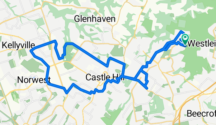
Cherrybrook to Castle Hill loop
A cycling route starting in Pennant Hills, New South Wales, Australia.
Overview
About this route
- -:--
- Duration
- 29.6 km
- Distance
- 290 m
- Ascent
- 290 m
- Descent
- ---
- Avg. speed
- ---
- Max. altitude
Continue with Bikemap
Use, edit, or download this cycling route
You would like to ride Cherrybrook to Castle Hill loop or customize it for your own trip? Here is what you can do with this Bikemap route:
Free features
- Save this route as favorite or in collections
- Copy & plan your own version of this route
- Sync your route with Garmin or Wahoo
Premium features
Free trial for 3 days, or one-time payment. More about Bikemap Premium.
- Navigate this route on iOS & Android
- Export a GPX / KML file of this route
- Create your custom printout (try it for free)
- Download this route for offline navigation
Discover more Premium features.
Get Bikemap PremiumFrom our community
Other popular routes starting in Pennant Hills
 Pennant Hills to 86 Benelong Rd, Cremorne
- Distance
- 30.5 km
- Ascent
- 471 m
- Descent
- 546 m
- Location
- Pennant Hills, New South Wales, Australia
 20 Bellamy Street, Pennant Hills to 120 Kirribilli Avenue, Kirribilli
- Distance
- 25.5 km
- Ascent
- 175 m
- Descent
- 339 m
- Location
- Pennant Hills, New South Wales, Australia
 pennant hills to beecroft
- Distance
- 5.9 km
- Ascent
- 63 m
- Descent
- 89 m
- Location
- Pennant Hills, New South Wales, Australia
 Cherrybrook to Penno loop
- Distance
- 20.2 km
- Ascent
- 198 m
- Descent
- 199 m
- Location
- Pennant Hills, New South Wales, Australia
 84 Duffy Avenue, Westleigh to Russell Crescent, Westleigh
- Distance
- 16 km
- Ascent
- 174 m
- Descent
- 170 m
- Location
- Pennant Hills, New South Wales, Australia
 10 Harold Ave, Pennant Hills to 140 Herring Rd, Macquarie Park
- Distance
- 8.6 km
- Ascent
- 140 m
- Descent
- 260 m
- Location
- Pennant Hills, New South Wales, Australia
 Cherrybrook to Castle Hill loop
- Distance
- 29.6 km
- Ascent
- 290 m
- Descent
- 290 m
- Location
- Pennant Hills, New South Wales, Australia
 10 Hoya Pl, Cherrybrook to 3–5 Hoya Pl, Cherrybrook
- Distance
- 22.3 km
- Ascent
- 307 m
- Descent
- 314 m
- Location
- Pennant Hills, New South Wales, Australia
Open it in the app