Polvoranca
- 38 km
- 602 m
- 651 m
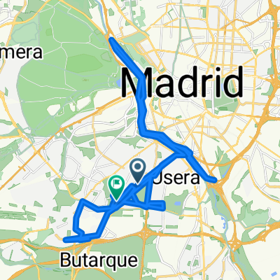
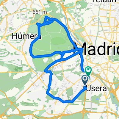
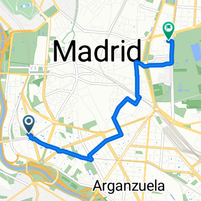
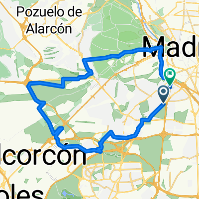
- Carabanchel, Madrid, Spain
A cycling route starting in Carabanchel, Madrid, Spain.
Overview
Route that starts on the green belt of Madrid and runs along the banks of the Manzanares. There are 3 or 4 areas where you have to walk on some logs and the bike through the water to avoid getting wet. In the area where the photos are, we punctured with a tack and there was another group of cyclists who had also punctured. Right before that, you need to walk over some stones. You return via the bike lane of San Martín de la Vega. Recommended in spring because in autumn-winter the landscape is quite poor.
created this 15 years ago
Route highlights


Arreglando el pinchazo
Continue with Bikemap
You would like to ride Recorriendo la orilla del Manzanares or customize it for your own trip? Here is what you can do with this Bikemap route:
Free trial for 3 days, or one-time payment. More about Bikemap Premium.
Discover more Premium features.
Get Bikemap PremiumFrom our community
Open it in the app