
Wernsdorf-Hartmannsdorf-Hangelsberg
- 48.5 km
- 101 m
- 101 m
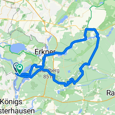
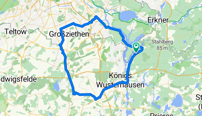
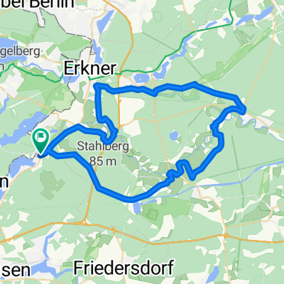
- Schmöckwitz, State of Berlin, Germany
Zum Probieren
A cycling route starting in Schmöckwitz, State of Berlin, Germany.
Overview
created this 5 years ago
Part of
Zum Probieren
1 stage
Route quality
Path
25.1 km
(37 %)
Road
14.2 km
(21 %)
Paved
44.8 km
(66 %)
Unpaved
10.2 km
(15 %)
Asphalt
43.4 km
(64 %)
Gravel
3.4 km
(5 %)
Continue with Bikemap
You would like to ride Zur Dahme-Quelle (Dahme-Radweg) or customize it for your own trip? Here is what you can do with this Bikemap route:
Free trial for 3 days, or one-time payment. More about Bikemap Premium.
Discover more Premium features.
Get Bikemap PremiumFrom our community
Open it in the app