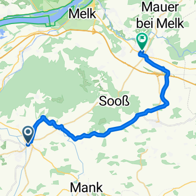
Run_Wildobstrunde_plus
A cycling route starting in Ruprechtshofen, Lower Austria, Austria.
Overview
About this route
- -:--
- Duration
- 19.8 km
- Distance
- 176 m
- Ascent
- 179 m
- Descent
- ---
- Avg. speed
- ---
- Avg. speed
Route quality
Waytypes & surfaces along the route
Waytypes
Road
9.2 km
(47 %)
Quiet road
6.6 km
(33 %)
Surfaces
Paved
9.7 km
(49 %)
Unpaved
3.1 km
(16 %)
Asphalt
9.7 km
(49 %)
Ground
1.6 km
(8 %)
Continue with Bikemap
Use, edit, or download this cycling route
You would like to ride Run_Wildobstrunde_plus or customize it for your own trip? Here is what you can do with this Bikemap route:
Free features
- Save this route as favorite or in collections
- Copy & plan your own version of this route
- Sync your route with Garmin or Wahoo
Premium features
Free trial for 3 days, or one-time payment. More about Bikemap Premium.
- Navigate this route on iOS & Android
- Export a GPX / KML file of this route
- Create your custom printout (try it for free)
- Download this route for offline navigation
Discover more Premium features.
Get Bikemap PremiumFrom our community
Other popular routes starting in Ruprechtshofen
- Wildobstrunde
- Distance
- 17 km
- Ascent
- 237 m
- Descent
- 237 m
- Location
- Ruprechtshofen, Lower Austria, Austria
- Erlaufschlucht
- Distance
- 42.1 km
- Ascent
- 259 m
- Descent
- 259 m
- Location
- Ruprechtshofen, Lower Austria, Austria
- Koth-Rainberg-Weghof-Großweichselbach-Gassen-Lehaleiten-St.Leonhard-Zwerbach-Koth
- Distance
- 29.1 km
- Ascent
- 456 m
- Descent
- 458 m
- Location
- Ruprechtshofen, Lower Austria, Austria
- Zwerbach 24 nach Zwerbach 24
- Distance
- 26.4 km
- Ascent
- 483 m
- Descent
- 474 m
- Location
- Ruprechtshofen, Lower Austria, Austria
- Koth-Petzenkirchen-Plaika-Landfriedstetten-Reith-Rainberg-Koth
- Distance
- 28.4 km
- Ascent
- 677 m
- Descent
- 677 m
- Location
- Ruprechtshofen, Lower Austria, Austria
- Gemeinderunde
- Distance
- 25.5 km
- Ascent
- 250 m
- Descent
- 250 m
- Location
- Ruprechtshofen, Lower Austria, Austria
- Koth 6, Ruprechtshofen nach Koth 11, Ruprechtshofen
- Distance
- 46.9 km
- Ascent
- 582 m
- Descent
- 579 m
- Location
- Ruprechtshofen, Lower Austria, Austria
- Babenbergergasse 11, Ruprechtshofen nach Donaustraße, Marbach an der Donau
- Distance
- 25.3 km
- Ascent
- 374 m
- Descent
- 398 m
- Location
- Ruprechtshofen, Lower Austria, Austria
Open it in the app