

FORCELLA DE LIUS/ PASSO DURON (por Paluzza/ Paularo)
A cycling route starting in Paluzza, Friuli Venezia Giulia, Italy.
Overview
About this route
Propuesta de ruta circular partiendo de Paluzza:
Paluzza- Malga Valdajer- Forcella di Lius- Paularo-passo Cason di Lanza-Pontebba-Sella di Cereschiatis-Amaro-Tolmezzo-Paluzza
- -:--
- Duration
- 111.4 km
- Distance
- 2,526 m
- Ascent
- 2,533 m
- Descent
- ---
- Avg. speed
- ---
- Max. altitude

Route quality
Waytypes & surfaces along the route
Waytypes
Road
35.7 km
(32 %)
Quiet road
10 km
(9 %)
Surfaces
Paved
76.9 km
(69 %)
Asphalt
76.9 km
(69 %)
Undefined
34.5 km
(31 %)
Route highlights
Points of interest along the route
\"")
Point of interest after 12.5 km
Malga Valgajer (1469 m.)
\"")
Point of interest after 19.2 km
Forcella di Lius (1070 m.)
\"")
Point of interest after 19.3 km
Passo Duron (1072 m.)
\"")
Point of interest after 39.2 km
Passo Cason di Lanza (1558 m.)
\"")
Point of interest after 62.2 km
Sella di Cereschiatis (1072 m.)
Continue with Bikemap
Use, edit, or download this cycling route
You would like to ride FORCELLA DE LIUS/ PASSO DURON (por Paluzza/ Paularo) or customize it for your own trip? Here is what you can do with this Bikemap route:
Free features
- Save this route as favorite or in collections
- Copy & plan your own version of this route
- Split it into stages to create a multi-day tour
- Sync your route with Garmin or Wahoo
Premium features
Free trial for 3 days, or one-time payment. More about Bikemap Premium.
- Navigate this route on iOS & Android
- Export a GPX / KML file of this route
- Create your custom printout (try it for free)
- Download this route for offline navigation
Discover more Premium features.
Get Bikemap PremiumFrom our community
Other popular routes starting in Paluzza
 Via San Nicolò 5, Paluzza nach Via San Nicolò 6, Paluzza
- Distance
- 33.4 km
- Ascent
- 2,403 m
- Descent
- 2,402 m
- Location
- Paluzza, Friuli Venezia Giulia, Italy
 #Friaul Paluzza - Zoncolan - Tramonti di Sopra - Clauzetto
- Distance
- 91 km
- Ascent
- 2,441 m
- Descent
- 2,465 m
- Location
- Paluzza, Friuli Venezia Giulia, Italy
 auf den Monte Zoncolan
- Distance
- 46 km
- Ascent
- 1,647 m
- Descent
- 1,647 m
- Location
- Paluzza, Friuli Venezia Giulia, Italy
 #Friaul Paluzza - Zoncolan - Sella di Razzo - Ampezzo
- Distance
- 81.2 km
- Ascent
- 2,435 m
- Descent
- 2,469 m
- Location
- Paluzza, Friuli Venezia Giulia, Italy
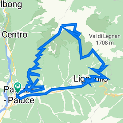
 Mte Paularo - Malga-Pramosio-Sent.403
- Distance
- 34.4 km
- Ascent
- 1,657 m
- Descent
- 1,656 m
- Location
- Paluzza, Friuli Venezia Giulia, Italy
 ZONCOLAN od Sutrio - ?
- Distance
- 51.7 km
- Ascent
- 1,873 m
- Descent
- 1,871 m
- Location
- Paluzza, Friuli Venezia Giulia, Italy
 #Friaul Paluzza - Tolmezzo - Tramonti di Sopra - Clauzetto
- Distance
- 91.6 km
- Ascent
- 1,220 m
- Descent
- 1,253 m
- Location
- Paluzza, Friuli Venezia Giulia, Italy
 Italija_2.dan_kraljevska
- Distance
- 137.4 km
- Ascent
- 2,324 m
- Descent
- 2,321 m
- Location
- Paluzza, Friuli Venezia Giulia, Italy
Open it in the app