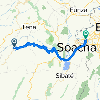
La Mesa hasta Bogota CLONED FROM ROUTE 1314517
- 72.9 km
- 1,704 m
- 363 m
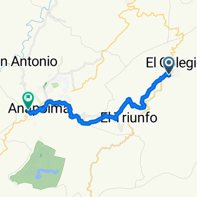
- San Antonio del Tequendama, Cundinamarca, Colombia
A cycling route starting in San Antonio del Tequendama, Cundinamarca, Colombia.
Overview
created this 5 years ago


Route quality
Road
4 km
(18 %)
Quiet road
0.9 km
(4 %)
Paved
6.6 km
(30 %)
Unpaved
0.4 km
(2 %)
Asphalt
6.6 km
(30 %)
Unpaved (undefined)
0.4 km
(2 %)
Undefined
15 km
(68 %)
Continue with Bikemap
You would like to ride De La Mesa-Mosquera a Soacha or customize it for your own trip? Here is what you can do with this Bikemap route:
Free trial for 3 days, or one-time payment. More about Bikemap Premium.
Discover more Premium features.
Get Bikemap PremiumFrom our community
Open it in the app