

Route des Grand Alps in France
A cycling route starting in Nice, Provence-Alpes-Côte d'Azur Region, France.
Overview
About this route
The Alps can be biked dozens of ways, new passes each time. This summer I felt bold. Once again I flew to Nice, but this time I intended to bike as close as possible to the Italian border, along the Route des Grandes Alpes. Weather was warm, blue skies, and I biked with all my belongings in just the front bag, so I was fast and nimble. This trip is a dream if you’re lucky with the weather.
I did Tour de France legends like Col de la Cayolle, Col de Vars, Col d’Izoard, Col du Galibier, Col du Télégraphe, Col de l’Iseran and finally Little St Bernard Pass into Italy. From there it would appear to be smooth sailing to the Aosta valley, but the final pass, Colle San Carlo in Italy was perhaps the toughest ever in my life. 10 km at a constant 10% with short stretches at 15%! I was forever slaloming up, to reduce the steepness of the road, and almost gave up.
The last stretch was grueling in a completely different way. It was hard head wind, and really hot, so I had to fight myself down (!) the valley to the city of Aosta. When I arrived my thighs were covered in wet blisters. There’s photographic evidence of the grimy mess, but trust me, you don’t want to see it.
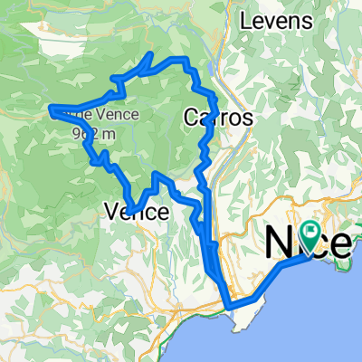
Please note: The route out of Nice is hand-drawn, I wouldn't trust it in real life.
- -:--
- Duration
- 510 km
- Distance
- 21,336 m
- Ascent
- 20,792 m
- Descent
- ---
- Avg. speed
- ---
- Max. altitude

Continue with Bikemap
Use, edit, or download this cycling route
You would like to ride Route des Grand Alps in France or customize it for your own trip? Here is what you can do with this Bikemap route:
Free features
- Save this route as favorite or in collections
- Copy & plan your own version of this route
- Split it into stages to create a multi-day tour
- Sync your route with Garmin or Wahoo
Premium features
Free trial for 3 days, or one-time payment. More about Bikemap Premium.
- Navigate this route on iOS & Android
- Export a GPX / KML file of this route
- Create your custom printout (try it for free)
- Download this route for offline navigation
Discover more Premium features.
Get Bikemap PremiumFrom our community
Other popular routes starting in Nice
 EZF Nizza
- Distance
- 25.8 km
- Ascent
- 1,125 m
- Descent
- 1,116 m
- Location
- Nice, Provence-Alpes-Côte d'Azur Region, France
 Nice 70.3
- Distance
- 93.5 km
- Ascent
- 1,101 m
- Descent
- 1,099 m
- Location
- Nice, Provence-Alpes-Côte d'Azur Region, France
 Col de la Madone 74km
- Distance
- 72.6 km
- Ascent
- 1,515 m
- Descent
- 1,516 m
- Location
- Nice, Provence-Alpes-Côte d'Azur Region, France
 Nice-Castillon-Turini-Nice
- Distance
- 141.7 km
- Ascent
- 2,793 m
- Descent
- 2,787 m
- Location
- Nice, Provence-Alpes-Côte d'Azur Region, France
 Bummer-Tour , 215km straight 50km climbing + Roller-coaster
- Distance
- 215.7 km
- Ascent
- 3,494 m
- Descent
- 3,494 m
- Location
- Nice, Provence-Alpes-Côte d'Azur Region, France
 Nizza Cap D'Ail Moyenne Corniche 51 800
- Distance
- 51 km
- Ascent
- 876 m
- Descent
- 875 m
- Location
- Nice, Provence-Alpes-Côte d'Azur Region, France
 IRONMAN NIZA BIKE
- Distance
- 166.6 km
- Ascent
- 2,903 m
- Descent
- 2,512 m
- Location
- Nice, Provence-Alpes-Côte d'Azur Region, France
 Ironman Nice
- Distance
- 180.2 km
- Ascent
- 1,725 m
- Descent
- 1,723 m
- Location
- Nice, Provence-Alpes-Côte d'Azur Region, France
Open it in the app