

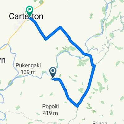
NZ Cycle (Day 11)
A cycling route starting in Masterton, Wellington Region, New Zealand.
Overview
About this route
- -:--
- Duration
- 135.9 km
- Distance
- 910 m
- Ascent
- 1,023 m
- Descent
- ---
- Avg. speed
- ---
- Max. altitude

Route quality
Waytypes & surfaces along the route
Waytypes
Quiet road
43.5 km
(32 %)
Cycleway
39.4 km
(29 %)
Surfaces
Paved
103.3 km
(76 %)
Unpaved
8.2 km
(6 %)
Asphalt
55.7 km
(41 %)
Paved (undefined)
47.6 km
(35 %)
Route highlights
Points of interest along the route
Accommodation after 0 km
rest day 3
Accommodation after 0 km
Rest Day 7
Accommodation after 0 km
Rest Day 4
Accommodation after 0 km
rest day 5
Accommodation after 0 km
Rest day 8
Accommodation after 0 km
rest day 7
Accommodation after 0 km
Rest day 9
Point of interest after 0 km
rest day 6
Accommodation after 0.3 km
rest day 10
Accommodation after 84.9 km
Rest day 2
Accommodation after 92 km
Rest day one
Point of interest after 92 km
Tane Mahuta
Drinking water after 135.7 km
ferry needs to be booked
Accommodation after 135.8 km
rest day 12
Accommodation after 135.8 km
rest day 11
Continue with Bikemap
Use, edit, or download this cycling route
You would like to ride NZ Cycle (Day 11) or customize it for your own trip? Here is what you can do with this Bikemap route:
Free features
- Save this route as favorite or in collections
- Copy & plan your own version of this route
- Split it into stages to create a multi-day tour
- Sync your route with Garmin or Wahoo
Premium features
Free trial for 3 days, or one-time payment. More about Bikemap Premium.
- Navigate this route on iOS & Android
- Export a GPX / KML file of this route
- Create your custom printout (try it for free)
- Download this route for offline navigation
Discover more Premium features.
Get Bikemap PremiumFrom our community
Other popular routes starting in Masterton
 Saturday
- Distance
- 394.6 km
- Ascent
- 1,793 m
- Descent
- 1,771 m
- Location
- Masterton, Wellington Region, New Zealand
![[Stage 3 - Tour of Wellington 2010]](https://media.bikemap.net/routes/382374/staticmaps/in_afc293b4-3e0a-4b1c-9e48-66a774e5024d_400x400_bikemap-2021-3D-static.png) [Stage 3 - Tour of Wellington 2010]
[Stage 3 - Tour of Wellington 2010]- Distance
- 159.4 km
- Ascent
- 1,302 m
- Descent
- 1,247 m
- Location
- Masterton, Wellington Region, New Zealand
 State Highway 2 237C, Masterton to State Highway 2 233, Masterton
- Distance
- 12.3 km
- Ascent
- 15 m
- Descent
- 27 m
- Location
- Masterton, Wellington Region, New Zealand
 1C Mary Street, Masterton to 1C Mary Street, Masterton
- Distance
- 30.5 km
- Ascent
- 109 m
- Descent
- 107 m
- Location
- Masterton, Wellington Region, New Zealand
 road race 2018
- Distance
- 26.6 km
- Ascent
- 96 m
- Descent
- 100 m
- Location
- Masterton, Wellington Region, New Zealand
 TA17 - Masterton to Upper Hutt
- Distance
- 107.9 km
- Ascent
- 565 m
- Descent
- 593 m
- Location
- Masterton, Wellington Region, New Zealand
 Carterton to Fielding
- Distance
- 147.6 km
- Ascent
- 1,503 m
- Descent
- 1,512 m
- Location
- Masterton, Wellington Region, New Zealand
 NZ Cycle (Day 11)
- Distance
- 135.9 km
- Ascent
- 910 m
- Descent
- 1,023 m
- Location
- Masterton, Wellington Region, New Zealand
Open it in the app