2020 Inselsbergtour
- 165.9 km
- 2,032 m
- 2,026 m
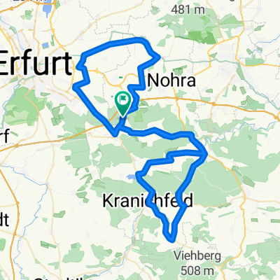
- Klettbach, Thuringia, Germany
A cycling route starting in Klettbach, Thuringia, Germany.
Overview
What has changed for cyclists in 30 years? Most cyclists can choose their dream bike from a wide range and ride around the world with it. Cycling paths have definitely improved. Did they even exist before outside of towns? A small beer in the pub costs 3.50€ = 7.00 DM = 28.00 Ostmark
created this 5 years ago


Route quality
Track
36.3 km
(29 %)
Path
23.8 km
(19 %)
Paved
107.8 km
(86 %)
Unpaved
13.8 km
(11 %)
Asphalt
107.8 km
(86 %)
Gravel
10 km
(8 %)
Continue with Bikemap
You would like to ride Hoch hinaus am Tag der Einheit or customize it for your own trip? Here is what you can do with this Bikemap route:
Free trial for 3 days, or one-time payment. More about Bikemap Premium.
Discover more Premium features.
Get Bikemap PremiumFrom our community
Open it in the app