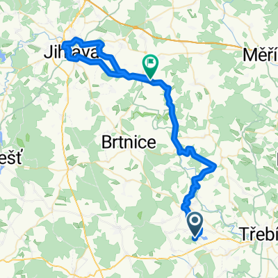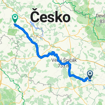

Silnice 35114, Nová Ves to Řípov 49, Třebíč
- 6.7 km
- 102 m
- 60 m
- Okříšky, Kraj Vysočina, Czechia
A cycling route starting in Okříšky, Kraj Vysočina, Czechia.
Overview
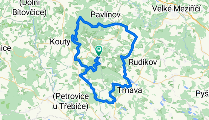
Benetice
created this 17 years ago
Route highlights
Věstoňovice
Rybník - spáleňák
Vanterberg - zemědělská usedlost
Okřešice
Dubiny
Pocoucov
Trnava
Přeckov
Kuchyňka - rozcestí
Hroznatín
Křižovatka - rovně na Nový Telečkov
Horní Heřmanice
Horní Radslavice
Rendlík - rozcestí
Zámeček - Zátiší
Čechtín - koupaliště
Čechtínská věž
Postejné trase do Benetic
Velký Javor
Start - Benetice náves
Continue with Bikemap
You would like to ride Benetice or customize it for your own trip? Here is what you can do with this Bikemap route:
Free trial for 3 days, or one-time payment. More about Bikemap Premium.
Discover more Premium features.
Get Bikemap PremiumFrom our community
Open it in the app