
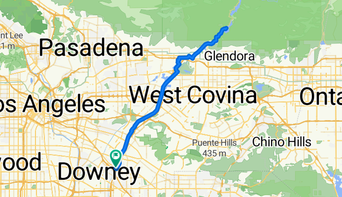
Downey to SGV Road & Climb
A cycling route starting in Santa Fe Springs, California, United States of America.
Overview
About this route
- -:--
- Duration
- 79.2 km
- Distance
- 365 m
- Ascent
- 363 m
- Descent
- ---
- Avg. speed
- ---
- Avg. speed
Route quality
Waytypes & surfaces along the route
Waytypes
Cycleway
59.6 km
(75 %)
Busy road
10.5 km
(13 %)
Surfaces
Paved
72.8 km
(92 %)
Unpaved
1.7 km
(2 %)
Asphalt
35.8 km
(45 %)
Paved (undefined)
32.7 km
(41 %)
Continue with Bikemap
Use, edit, or download this cycling route
You would like to ride Downey to SGV Road & Climb or customize it for your own trip? Here is what you can do with this Bikemap route:
Free features
- Save this route as favorite or in collections
- Copy & plan your own version of this route
- Sync your route with Garmin or Wahoo
Premium features
Free trial for 3 days, or one-time payment. More about Bikemap Premium.
- Navigate this route on iOS & Android
- Export a GPX / KML file of this route
- Create your custom printout (try it for free)
- Download this route for offline navigation
Discover more Premium features.
Get Bikemap PremiumFrom our community
Other popular routes starting in Santa Fe Springs
 Heritage Springs Drive 12397, Santa Fe Springs to Heritage Springs Drive 12389, Santa Fe Springs
- Distance
- 9.4 km
- Ascent
- 136 m
- Descent
- 68 m
- Location
- Santa Fe Springs, California, United States of America
 work to home
- Distance
- 14.7 km
- Ascent
- 224 m
- Descent
- 104 m
- Location
- Santa Fe Springs, California, United States of America
 seal beach
- Distance
- 25.3 km
- Ascent
- 40 m
- Descent
- 73 m
- Location
- Santa Fe Springs, California, United States of America
 Cerritos college
- Distance
- 7.2 km
- Ascent
- 4 m
- Descent
- 16 m
- Location
- Santa Fe Springs, California, United States of America
 H.B. Ride
- Distance
- 39.4 km
- Ascent
- 39 m
- Descent
- 73 m
- Location
- Santa Fe Springs, California, United States of America
 Downey to SGV Road & Climb
- Distance
- 79.2 km
- Ascent
- 365 m
- Descent
- 363 m
- Location
- Santa Fe Springs, California, United States of America
 Azusa ride
- Distance
- 36.7 km
- Ascent
- 230 m
- Descent
- 15 m
- Location
- Santa Fe Springs, California, United States of America
 9223 Millergrove Dr, Santa Fe Springs to 9223 Millergrove Dr, Santa Fe Springs
- Distance
- 28.7 km
- Ascent
- 5 m
- Descent
- 0 m
- Location
- Santa Fe Springs, California, United States of America
Open it in the app