

Appleton-New London-Bean City Route
A cycling route starting in Appleton, Wisconsin, United States.
Overview
About this route
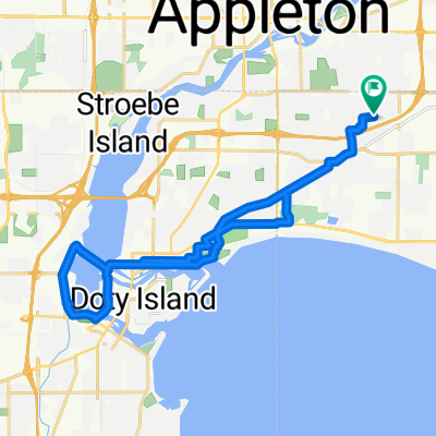
55 Miles west of Appleton. Nice quiet rural route with very little traffic. A few hills coming back on School Road
- -:--
- Duration
- 90.1 km
- Distance
- 226 m
- Ascent
- 226 m
- Descent
- ---
- Avg. speed
- ---
- Max. altitude
Route quality
Waytypes & surfaces along the route
Waytypes
Quiet road
45.1 km
(50 %)
Road
27 km
(30 %)
Surfaces
Paved
71.2 km
(79 %)
Asphalt
67.6 km
(75 %)
Paved (undefined)
3.6 km
(4 %)
Undefined
18.9 km
(21 %)
Continue with Bikemap
Use, edit, or download this cycling route
You would like to ride Appleton-New London-Bean City Route or customize it for your own trip? Here is what you can do with this Bikemap route:
Free features
- Save this route as favorite or in collections
- Copy & plan your own version of this route
- Split it into stages to create a multi-day tour
- Sync your route with Garmin or Wahoo
Premium features
Free trial for 3 days, or one-time payment. More about Bikemap Premium.
- Navigate this route on iOS & Android
- Export a GPX / KML file of this route
- Create your custom printout (try it for free)
- Download this route for offline navigation
Discover more Premium features.
Get Bikemap PremiumFrom our community
Other popular routes starting in Appleton
 Recording from January 29, 11:05 AM
- Distance
- 18.2 km
- Ascent
- 20 m
- Descent
- 32 m
- Location
- Appleton, Wisconsin, United States
 Around the neighbor hood
- Distance
- 2.8 km
- Ascent
- 10 m
- Descent
- 12 m
- Location
- Appleton, Wisconsin, United States
 Loop The Lake
- Distance
- 26.1 km
- Ascent
- 60 m
- Descent
- 60 m
- Location
- Appleton, Wisconsin, United States
 N Appleton Slow Roll 2
- Distance
- 10.9 km
- Ascent
- 44 m
- Descent
- 45 m
- Location
- Appleton, Wisconsin, United States
 bike tour through Town of Grand Chute
- Distance
- 29.1 km
- Ascent
- 87 m
- Descent
- 86 m
- Location
- Appleton, Wisconsin, United States
 NE Appleton 1 Slow Roll
- Distance
- 14.9 km
- Ascent
- 60 m
- Descent
- 57 m
- Location
- Appleton, Wisconsin, United States
 Appleton to Stevens Point
- Distance
- 109.1 km
- Ascent
- 276 m
- Descent
- 183 m
- Location
- Appleton, Wisconsin, United States
 Neenah CB airport from cripple creek drive, appleton
- Distance
- 42.1 km
- Ascent
- 190 m
- Descent
- 190 m
- Location
- Appleton, Wisconsin, United States
Open it in the app