
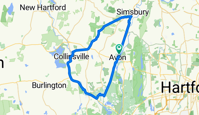
Avon-Canton-Simsbury Loop Farmington Canal Heritage Trail
A cycling route starting in Weatogue, Connecticut, United States of America.
Overview
About this route
- 2 h 15 min
- Duration
- 39 km
- Distance
- 452 m
- Ascent
- 452 m
- Descent
- 17.3 km/h
- Avg. speed
- ---
- Avg. speed

Route quality
Waytypes & surfaces along the route
Waytypes
Cycleway
25.9 km
(67 %)
Quiet road
4.5 km
(12 %)
Surfaces
Paved
23.4 km
(60 %)
Unpaved
3.3 km
(9 %)
Asphalt
16.2 km
(42 %)
Paved (undefined)
7 km
(18 %)
Continue with Bikemap
Use, edit, or download this cycling route
You would like to ride Avon-Canton-Simsbury Loop Farmington Canal Heritage Trail or customize it for your own trip? Here is what you can do with this Bikemap route:
Free features
- Save this route as favorite or in collections
- Copy & plan your own version of this route
- Sync your route with Garmin or Wahoo
Premium features
Free trial for 3 days, or one-time payment. More about Bikemap Premium.
- Navigate this route on iOS & Android
- Export a GPX / KML file of this route
- Create your custom printout (try it for free)
- Download this route for offline navigation
Discover more Premium features.
Get Bikemap PremiumFrom our community
Other popular routes starting in Weatogue
 1–65 Summit Ridge Dr, Avon to 1–65 Summit Ridge Dr, Bloomfield
- Distance
- 4.9 km
- Ascent
- 207 m
- Descent
- 243 m
- Location
- Weatogue, Connecticut, United States of America
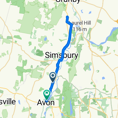 86 Simsbury Manor Dr, Weatogue to 68 Mountain View Ave, Avon
- Distance
- 27.8 km
- Ascent
- 106 m
- Descent
- 132 m
- Location
- Weatogue, Connecticut, United States of America
 1 Summit Ridge Dr, Avon to 1–65 Summit Ridge Dr, Avon
- Distance
- 4.5 km
- Ascent
- 175 m
- Descent
- 174 m
- Location
- Weatogue, Connecticut, United States of America
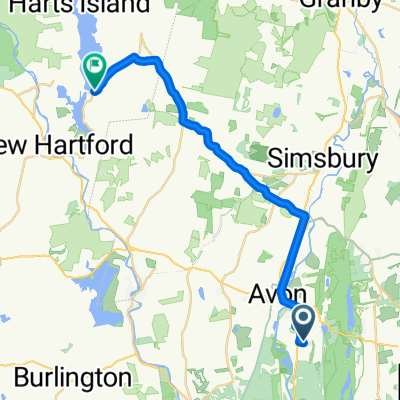
 25 Old Meadow Plain Rd, Simsbury to 3 Depot St, Collinsville
- Distance
- 9.4 km
- Ascent
- 73 m
- Descent
- 101 m
- Location
- Weatogue, Connecticut, United States of America
 dad ct
- Distance
- 16.9 km
- Ascent
- 174 m
- Descent
- 245 m
- Location
- Weatogue, Connecticut, United States of America
 frick
frick- Distance
- 10.3 km
- Ascent
- 71 m
- Descent
- 106 m
- Location
- Weatogue, Connecticut, United States of America
 case route
- Distance
- 32.9 km
- Ascent
- 401 m
- Descent
- 402 m
- Location
- Weatogue, Connecticut, United States of America
 Lake Barkenstead
- Distance
- 24.9 km
- Ascent
- 387 m
- Descent
- 321 m
- Location
- Weatogue, Connecticut, United States of America
Open it in the app