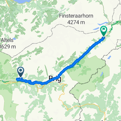
17 Jeizinen - Torrent
- 17.3 km
- 1,029 m
- 242 m
- Gampel, Valais, Switzerland
A cycling route starting in Gampel, Valais, Switzerland.
Overview
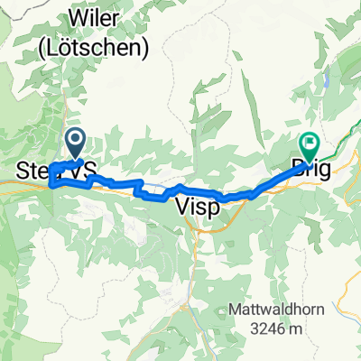
This route is intended both as a pilgrimage and a mountain excursion. It includes Austria, from Vienna to Feldkirch, with highlights being the Donau Radweg and Salzkammergut Radweg; southern Bavaria, especially Berchtesgaden National Park and Lake Eibsee, covering part of the route on the Mozart Radweg; Switzerland, including the Lauterbrunnen valley and Lake Oeschinensee, along with several other lakes; France, attempting to see Mont Blanc, the Tarn Gorge, and the Gavarnie valley; and finally Spain, aiming to capture some of the beauty of the Pyrenees (up to Jaca), then following the Camino de Santiago to Compostela. The route is approximately 3800 km and requires at least two months of cycling.
created this 15 years ago
Continue with Bikemap
You would like to ride Viena - Santiago de Compostela. part 4: Oeschinensee-Jaca or customize it for your own trip? Here is what you can do with this Bikemap route:
Free trial for 3 days, or one-time payment. More about Bikemap Premium.
Discover more Premium features.
Get Bikemap PremiumFrom our community
Open it in the app