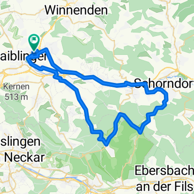
Rems und Neckar
A cycling route starting in Waiblingen, Baden-Württemberg, Germany.
Overview
About this route
Von Waiblingen über Neckarems nach Stuttgart Mitte
- -:--
- Duration
- 52.1 km
- Distance
- 181 m
- Ascent
- 196 m
- Descent
- ---
- Avg. speed
- 255 m
- Avg. speed
Route quality
Waytypes & surfaces along the route
Waytypes
Pedestrian area
12.7 km
(24 %)
Path
12.2 km
(23 %)
Surfaces
Paved
47 km
(90 %)
Unpaved
1.4 km
(3 %)
Asphalt
39.1 km
(75 %)
Concrete
5.5 km
(11 %)
Continue with Bikemap
Use, edit, or download this cycling route
You would like to ride Rems und Neckar or customize it for your own trip? Here is what you can do with this Bikemap route:
Free features
- Save this route as favorite or in collections
- Copy & plan your own version of this route
- Sync your route with Garmin or Wahoo
Premium features
Free trial for 3 days, or one-time payment. More about Bikemap Premium.
- Navigate this route on iOS & Android
- Export a GPX / KML file of this route
- Create your custom printout (try it for free)
- Download this route for offline navigation
Discover more Premium features.
Get Bikemap PremiumFrom our community
Other popular routes starting in Waiblingen
- Tour de Schnait
- Distance
- 36.3 km
- Ascent
- 379 m
- Descent
- 378 m
- Location
- Waiblingen, Baden-Württemberg, Germany
- Abendrunde
- Distance
- 29.6 km
- Ascent
- 412 m
- Descent
- 415 m
- Location
- Waiblingen, Baden-Württemberg, Germany
- Waiblingen-Remseck-Fellbach-WN
- Distance
- 37 km
- Ascent
- 152 m
- Descent
- 188 m
- Location
- Waiblingen, Baden-Württemberg, Germany
- Runde Welzheim 100 km
- Distance
- 93.2 km
- Ascent
- 677 m
- Descent
- 674 m
- Location
- Waiblingen, Baden-Württemberg, Germany
- Rems und Neckar
- Distance
- 52.1 km
- Ascent
- 181 m
- Descent
- 196 m
- Location
- Waiblingen, Baden-Württemberg, Germany
- Waiblingen über Schmiden am Besinnungsweg entlang bis zum Mount Oeffingen und zum Max-Eyth -See
- Distance
- 21.6 km
- Ascent
- 72 m
- Descent
- 185 m
- Location
- Waiblingen, Baden-Württemberg, Germany
- Ameisenbühl 1, Waiblingen nach Ameisenbühl 8, Waiblingen
- Distance
- 19 km
- Ascent
- 7 m
- Descent
- 16 m
- Location
- Waiblingen, Baden-Württemberg, Germany
- Runde um den Schurwald
- Distance
- 41.4 km
- Ascent
- 489 m
- Descent
- 534 m
- Location
- Waiblingen, Baden-Württemberg, Germany