Vienne Chambord par BRGM
- 76.2 km
- 103 m
- 132 m
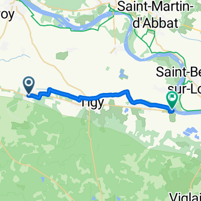
- Vienne-en-Val, Centre-Val de Loire, France
A cycling route starting in Vienne-en-Val, Centre-Val de Loire, France.
Overview
created this 5 years ago
Route quality
Road
7.2 km
(82 %)
Pedestrian area
0.8 km
(9 %)
Paved
7.4 km
(85 %)
Asphalt
7.4 km
(85 %)
Undefined
1.3 km
(15 %)
Continue with Bikemap
You would like to ride De 36 Rue de Saint-Germain, Vienne-en-Val à Route de Férolles, Sandillon or customize it for your own trip? Here is what you can do with this Bikemap route:
Free trial for 3 days, or one-time payment. More about Bikemap Premium.
Discover more Premium features.
Get Bikemap PremiumFrom our community
Open it in the app