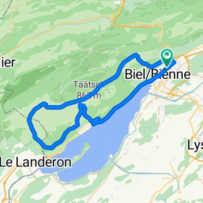
P-Biel/Bern (91 km)
- 90.7 km
- 1,180 m
- 1,179 m
- Biel/Bienne, Canton of Bern, Switzerland
A cycling route starting in Biel/Bienne, Canton of Bern, Switzerland.
Overview
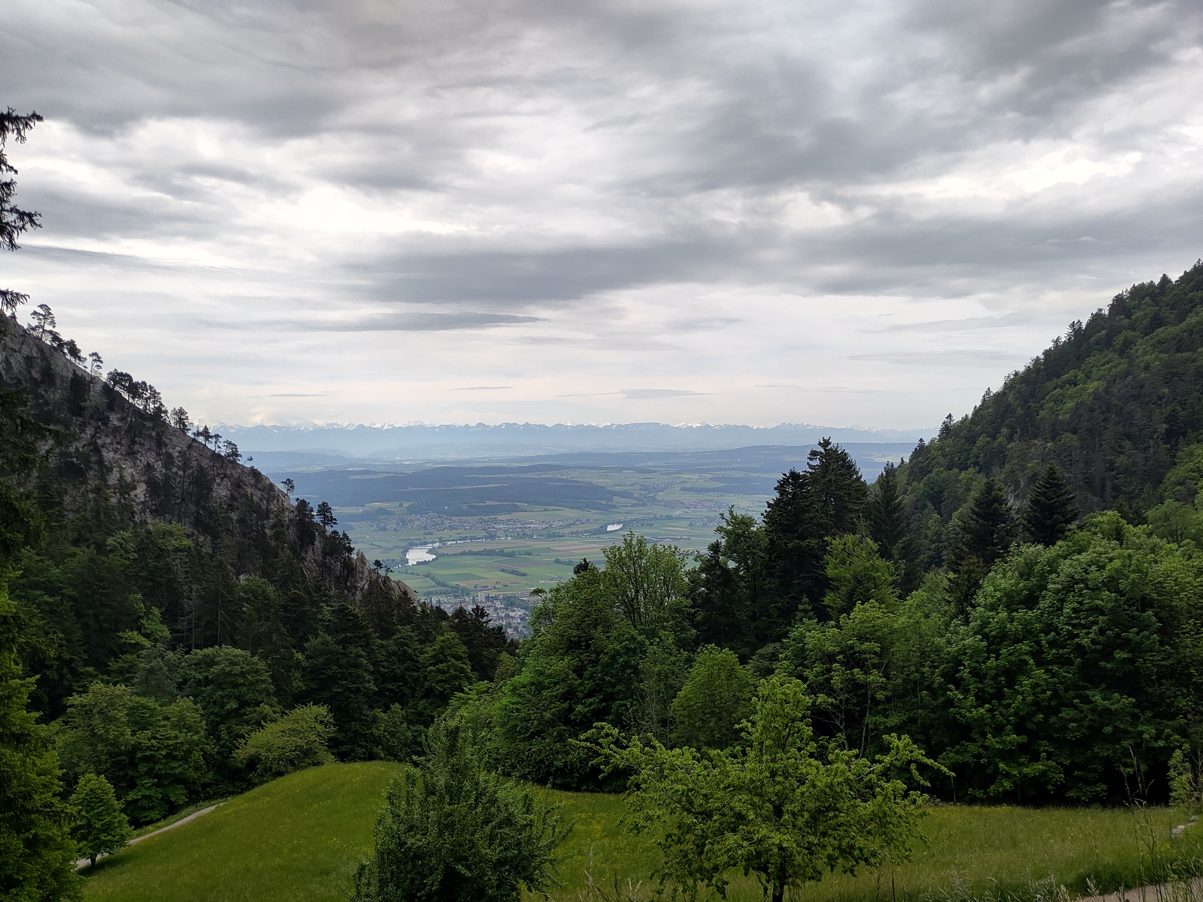
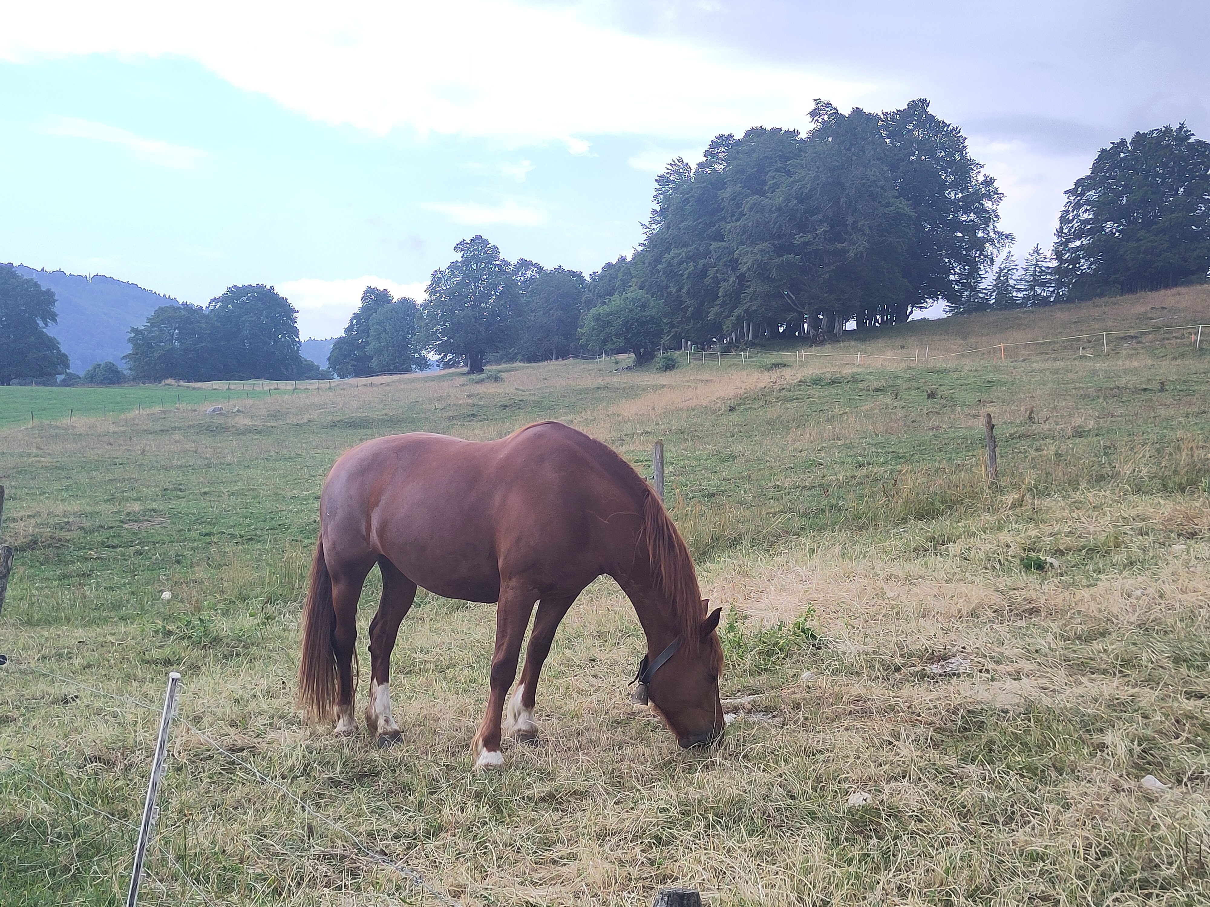
Lovely route; note that this version of the route has few km off-road. Till Lengnau is flat but it's ok to warm-up, then it starts really nice route and countryside. Most difficult part of the climb is probably the beginning till km 12,5 into nice forest. Other difficult part is Vauffelin at km 18. At Plagne (km 21) starts the downhill: it's quite straight with no turns and you have to control your speed. At km 26 there is 2nd climb, but it's not steep at all (around 4%), it just goes up for few kilometers, following main cantonal road (this is the most boring part of the route). At km 37 again nice climb with lovely coutryside (take care: km 42-45 are off-road but you can do with road-bike and 28mm tyres). Then fast downhill back to Biel/Bienne.
created this 5 years ago
Route quality
Road
22.1 km
(41 %)
Quiet road
21.6 km
(40 %)
Paved
27 km
(50 %)
Unpaved
2.2 km
(4 %)
Asphalt
24.3 km
(45 %)
Paved (undefined)
2.7 km
(5 %)
Route highlights
TUNNEL: you need lights for your bike !!!
Off-road START
Off-road END
Continue with Bikemap
You would like to ride P-Biel/Lengnau/Plagne/Orvin/Macolin/Evilard (53km) or customize it for your own trip? Here is what you can do with this Bikemap route:
Free trial for 3 days, or one-time payment. More about Bikemap Premium.
Discover more Premium features.
Get Bikemap PremiumFrom our community
Open it in the app