

SB6 Schnuppertour im Naturpark
A cycling route starting in Untergruppenbach, Baden-Württemberg, Germany.
Overview
About this route
Wo die Schozach am Rand des Naturparks Schwäbisch-Fränkischer Wald entspringt, erwartet Sie rund um Untergruppenbach eine reizvolle Landschaft auf einer welligen Hochebene mit viel Wald, Feldern, Weinbergen und unberührter Natur.
- -:--
- Duration
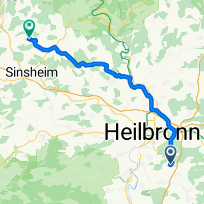
- 21.8 km
- Distance
- 434 m
- Ascent
- 435 m
- Descent
- ---
- Avg. speed
- ---
- Max. altitude

Route quality
Waytypes & surfaces along the route
Waytypes
Track
14.4 km
(66 %)
Quiet road
4.6 km
(21 %)
Surfaces
Paved
7.6 km
(35 %)
Unpaved
13 km
(60 %)
Gravel
8.8 km
(41 %)
Asphalt
7.5 km
(35 %)
Continue with Bikemap
Use, edit, or download this cycling route
You would like to ride SB6 Schnuppertour im Naturpark or customize it for your own trip? Here is what you can do with this Bikemap route:
Free features
- Save this route as favorite or in collections
- Copy & plan your own version of this route
- Sync your route with Garmin or Wahoo
Premium features
Free trial for 3 days, or one-time payment. More about Bikemap Premium.
- Navigate this route on iOS & Android
- Export a GPX / KML file of this route
- Create your custom printout (try it for free)
- Download this route for offline navigation
Discover more Premium features.
Get Bikemap PremiumFrom our community
Other popular routes starting in Untergruppenbach
 Kaudenwald->Reisbergbrücke and back
- Distance
- 9.1 km
- Ascent
- 191 m
- Descent
- 177 m
- Location
- Untergruppenbach, Baden-Württemberg, Germany
 Hirrweiler - Unterheimbach - Hirrweiler
- Distance
- 61.8 km
- Ascent
- 766 m
- Descent
- 788 m
- Location
- Untergruppenbach, Baden-Württemberg, Germany
 Rundweg Weinsberger Tal,Breit.See,Ugrbach
- Distance
- 29.7 km
- Ascent
- 308 m
- Descent
- 307 m
- Location
- Untergruppenbach, Baden-Württemberg, Germany
 54 km U-bach - Eschelbronn
- Distance
- 53.2 km
- Ascent
- 256 m
- Descent
- 356 m
- Location
- Untergruppenbach, Baden-Württemberg, Germany
 Untergruppenbach - Burg Stettenfels
- Distance
- 5.8 km
- Ascent
- 86 m
- Descent
- 88 m
- Location
- Untergruppenbach, Baden-Württemberg, Germany
 HN Stadtwaldrunde - Teil 3
- Distance
- 10.5 km
- Ascent
- 207 m
- Descent
- 206 m
- Location
- Untergruppenbach, Baden-Württemberg, Germany
 Kaudenwald->Waldheide-Köpfer->Gaffenberg
- Distance
- 20.6 km
- Ascent
- 404 m
- Descent
- 386 m
- Location
- Untergruppenbach, Baden-Württemberg, Germany
 SB6 Schnuppertour im Naturpark
- Distance
- 21.8 km
- Ascent
- 434 m
- Descent
- 435 m
- Location
- Untergruppenbach, Baden-Württemberg, Germany
Open it in the app