kamionka - blizna - kozłówki - ocieka - kamionka
- 30.8 km
- 118 m
- 117 m
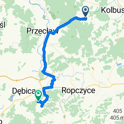
- Niwiska, Subcarpathian Voivodeship, Poland
A cycling route starting in Niwiska, Subcarpathian Voivodeship, Poland.
Overview
XLVII OG 2020/21
created this 5 years ago
Route quality
Road
12.6 km
(35 %)
Quiet road
12.2 km
(34 %)
Paved
23.4 km
(65 %)
Unpaved
2.5 km
(7 %)
Asphalt
23.4 km
(65 %)
Unpaved (undefined)
1.4 km
(4 %)
Continue with Bikemap
You would like to ride Szlakami Kotliny Sandomierskiej w gminie Przecław i gminach ościennych or customize it for your own trip? Here is what you can do with this Bikemap route:
Free trial for 3 days, or one-time payment. More about Bikemap Premium.
Discover more Premium features.
Get Bikemap PremiumFrom our community
Open it in the app