

Jakobshütte bei Röthardt
A cycling route starting in Durlangen, Baden-Wurttemberg, Germany.
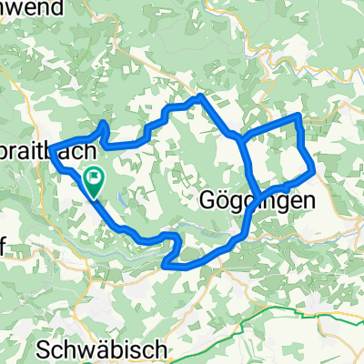
Overview
About this route
- -:--
- Duration
- 59.7 km
- Distance
- 583 m
- Ascent
- 586 m
- Descent
- ---
- Avg. speed
- ---
- Max. altitude

Route quality
Waytypes & surfaces along the route
Waytypes
Road
28 km
(47 %)
Path
13.1 km
(22 %)
Surfaces
Paved
46.5 km
(78 %)
Unpaved
0.6 km
(1 %)
Asphalt
45.3 km
(76 %)
Paved (undefined)
1.2 km
(2 %)
Continue with Bikemap
Use, edit, or download this cycling route
You would like to ride Jakobshütte bei Röthardt or customize it for your own trip? Here is what you can do with this Bikemap route:
Free features
- Save this route as favorite or in collections
- Copy & plan your own version of this route
- Sync your route with Garmin or Wahoo
Premium features
Free trial for 3 days, or one-time payment. More about Bikemap Premium.
- Navigate this route on iOS & Android
- Export a GPX / KML file of this route
- Create your custom printout (try it for free)
- Download this route for offline navigation
Discover more Premium features.
Get Bikemap PremiumFrom our community
Other popular routes starting in Durlangen
 13-08-02
- Distance
- 42.3 km
- Ascent
- 392 m
- Descent
- 392 m
- Location
- Durlangen, Baden-Wurttemberg, Germany
 Rad mittag groß
- Distance
- 21.8 km
- Ascent
- 671 m
- Descent
- 657 m
- Location
- Durlangen, Baden-Wurttemberg, Germany
 Paula mittag
- Distance
- 10.1 km
- Ascent
- 1,015 m
- Descent
- 1,022 m
- Location
- Durlangen, Baden-Wurttemberg, Germany
 Rehnenmühle
- Distance
- 6.4 km
- Ascent
- 138 m
- Descent
- 138 m
- Location
- Durlangen, Baden-Wurttemberg, Germany
 Alfdorf
- Distance
- 17 km
- Ascent
- 417 m
- Descent
- 420 m
- Location
- Durlangen, Baden-Wurttemberg, Germany
 12345
12345- Distance
- 12.2 km
- Ascent
- 570 m
- Descent
- 583 m
- Location
- Durlangen, Baden-Wurttemberg, Germany
 Poststraße 9, Durlangen nach Hagstraße 1, Gschwend
- Distance
- 12.8 km
- Ascent
- 152 m
- Descent
- 149 m
- Location
- Durlangen, Baden-Wurttemberg, Germany
 Jakobshütte bei Röthardt
- Distance
- 59.7 km
- Ascent
- 583 m
- Descent
- 586 m
- Location
- Durlangen, Baden-Wurttemberg, Germany
Open it in the app