Colline Trevigiane tra sacro e profano
- 61.7 km
- 553 m
- 553 m
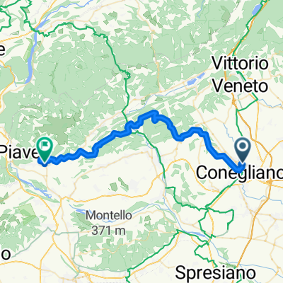
- Conegliano, Veneto, Italy
A cycling route starting in Conegliano, Veneto, Italy.
Overview
Route actually ridden by the group salite.ch
created this 17 years ago
Route quality
Quiet road
55.6 km
(40 %)
Road
40.3 km
(29 %)
Paved
79.2 km
(57 %)
Unpaved
2.8 km
(2 %)
Asphalt
75 km
(54 %)
Paved (undefined)
4.2 km
(3 %)
Route highlights
1
2
3
4
5
6
7
8
9
10
11
12
14
13
15
16
17
18
19
20
21
22
23
24
25
26
27
Continue with Bikemap
You would like to ride 30 salite di Conegliano 2007 or customize it for your own trip? Here is what you can do with this Bikemap route:
Free trial for 3 days, or one-time payment. More about Bikemap Premium.
Discover more Premium features.
Get Bikemap PremiumFrom our community
Open it in the app