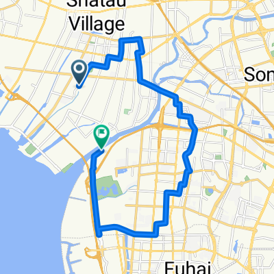
Rota para 中心路, 东莞市
A cycling route starting in Chang’an, Guangdong, China.
Overview
About this route
- 1 h 57 min
- Duration
- 34.8 km
- Distance
- 340 m
- Ascent
- 432 m
- Descent
- 17.8 km/h
- Avg. speed
- ---
- Max. altitude
Continue with Bikemap
Use, edit, or download this cycling route
You would like to ride Rota para 中心路, 东莞市 or customize it for your own trip? Here is what you can do with this Bikemap route:
Free features
- Save this route as favorite or in collections
- Copy & plan your own version of this route
- Sync your route with Garmin or Wahoo
Premium features
Free trial for 3 days, or one-time payment. More about Bikemap Premium.
- Navigate this route on iOS & Android
- Export a GPX / KML file of this route
- Create your custom printout (try it for free)
- Download this route for offline navigation
Discover more Premium features.
Get Bikemap PremiumFrom our community
Other popular routes starting in Chang’an
大嶺山公園- Distance
- 26.5 km
- Ascent
- 501 m
- Descent
- 508 m
- Location
- Chang’an, Guangdong, China
厦岗--松山湖- Distance
- 27.4 km
- Ascent
- 362 m
- Descent
- 343 m
- Location
- Chang’an, Guangdong, China
2011度恶泥连队挑战活动--环马山3圈骑行- Distance
- 31.5 km
- Ascent
- 1,080 m
- Descent
- 963 m
- Location
- Chang’an, Guangdong, China
Rota para 中心路, 东莞市- Distance
- 34.8 km
- Ascent
- 340 m
- Descent
- 432 m
- Location
- Chang’an, Guangdong, China
11111- Distance
- 0.4 km
- Ascent
- 8 m
- Descent
- 0 m
- Location
- Chang’an, Guangdong, China
东莞-广州绿道环线- Distance
- 392.9 km
- Ascent
- 5,605 m
- Descent
- 5,595 m
- Location
- Chang’an, Guangdong, China
合昌路口 to Wèi Mìng Míng De Dào Lù- Distance
- 23 km
- Ascent
- 87 m
- Descent
- 82 m
- Location
- Chang’an, Guangdong, China
Open it in the app

