Jazda z miasta! Do Muzeum Witolda Gombrowicza we Wsoli
- 19.2 km
- 58 m
- 67 m
- Jastrzębia, Masovian Voivodeship, Poland
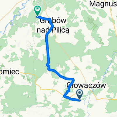
A cycling route starting in Jastrzębia, Masovian Voivodeship, Poland.
Overview
Red hiking trail from Lesiów to Warka
created this 5 years ago
Route quality
Track
37.4 km
54 %
Quiet road
21.5 km
31 %
Paved
14.6 km
(21 %)
Unpaved
29.1 km
(42 %)
Ground
19.4 km
28 %
Asphalt
11.1 km
16 %
Continue with Bikemap
You would like to ride Lesiów - Warka - szlak pieszy or customize it for your own trip? Here is what you can do with this Bikemap route:
Free trial for 3 days, or one-time payment. More about Bikemap Premium.
Discover more Premium features.
Get Bikemap PremiumFrom our community
Open it in the app