

MTB Schliersee Rotwandhaus – Ausblick Spitzingsee Runde von Schliersee
A cycling route starting in Schliersee, Bavaria, Germany.
Overview
About this route
- -:--
- Duration
- 48.9 km
- Distance
- 1,635 m
- Ascent
- 1,634 m
- Descent
- ---
- Avg. speed
- ---
- Max. altitude
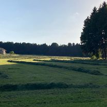
Route photos


Continue with Bikemap
Use, edit, or download this cycling route
You would like to ride MTB Schliersee Rotwandhaus – Ausblick Spitzingsee Runde von Schliersee or customize it for your own trip? Here is what you can do with this Bikemap route:
Free features
- Save this route as favorite or in collections
- Copy & plan your own version of this route
- Sync your route with Garmin or Wahoo
Premium features
Free trial for 3 days, or one-time payment. More about Bikemap Premium.
- Navigate this route on iOS & Android
- Export a GPX / KML file of this route
- Create your custom printout (try it for free)
- Download this route for offline navigation
Discover more Premium features.
Get Bikemap PremiumFrom our community
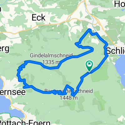
Other popular routes starting in Schliersee
 Gindelalm
- Distance
- 34.3 km
- Ascent
- 1,139 m
- Descent
- 1,139 m
- Location
- Schliersee, Bavaria, Germany
 ab Schliersee rund um den Wendelstein
- Distance
- 68.2 km
- Ascent
- 933 m
- Descent
- 933 m
- Location
- Schliersee, Bavaria, Germany
 Schliersee nach Mühlthal, Valley
- Distance
- 18.3 km
- Ascent
- 314 m
- Descent
- 491 m
- Location
- Schliersee, Bavaria, Germany
 Schliersee - Brandenberg
- Distance
- 33.4 km
- Ascent
- 1,433 m
- Descent
- 1,465 m
- Location
- Schliersee, Bavaria, Germany
 valley - Schliersee
- Distance
- 21.8 km
- Ascent
- 187 m
- Descent
- 325 m
- Location
- Schliersee, Bavaria, Germany
 Schliersee - Rohnberg - Neuhaus
- Distance
- 29.5 km
- Ascent
- 1,140 m
- Descent
- 1,144 m
- Location
- Schliersee, Bavaria, Germany
 Schliersee - Tegernsee
- Distance
- 23.2 km
- Ascent
- 925 m
- Descent
- 925 m
- Location
- Schliersee, Bavaria, Germany
 Schliersee Tegernsee Rundfahrt
- Distance
- 54.2 km
- Ascent
- 364 m
- Descent
- 364 m
- Location
- Schliersee, Bavaria, Germany
Open it in the app