

Djerring Trail
A cycling route starting in Dandenong, Victoria, Australia.
Overview
About this route
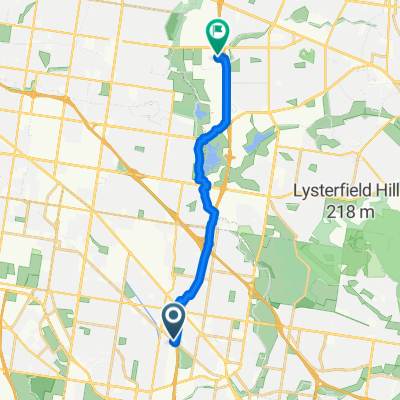
From Yarraman to Caulfield on Djerring then Rosstown Rail, Elster, Bay, Sandridge Trails to Fed Sq
- -:--
- Duration
- 38.6 km
- Distance
- 57 m
- Ascent
- 81 m
- Descent
- ---
- Avg. speed
- ---
- Max. altitude
Route quality
Waytypes & surfaces along the route
Waytypes
Cycleway
31.3 km
(81 %)
Road
2.7 km
(7 %)
Surfaces
Paved
33.2 km
(86 %)
Concrete
18.5 km
(48 %)
Asphalt
12 km
(31 %)
Continue with Bikemap
Use, edit, or download this cycling route
You would like to ride Djerring Trail or customize it for your own trip? Here is what you can do with this Bikemap route:
Free features
- Save this route as favorite or in collections
- Copy & plan your own version of this route
- Sync your route with Garmin or Wahoo
Premium features
Free trial for 3 days, or one-time payment. More about Bikemap Premium.
- Navigate this route on iOS & Android
- Export a GPX / KML file of this route
- Create your custom printout (try it for free)
- Download this route for offline navigation
Discover more Premium features.
Get Bikemap PremiumFrom our community
Other popular routes starting in Dandenong
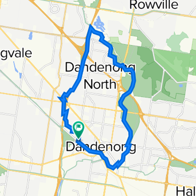
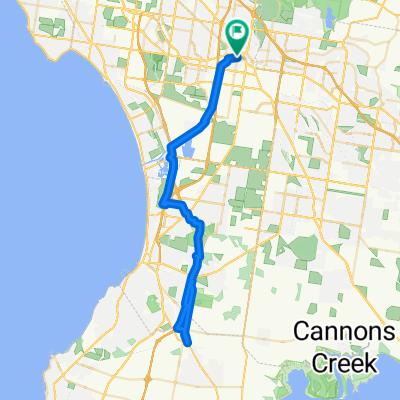
 Dandenong - Bayswater
- Distance
- 21.3 km
- Ascent
- 200 m
- Descent
- 132 m
- Location
- Dandenong, Victoria, Australia
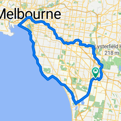 Route in Dandenong
- Distance
- 99.3 km
- Ascent
- 572 m
- Descent
- 573 m
- Location
- Dandenong, Victoria, Australia
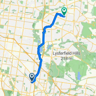
 Yarraman Station To Airport
- Distance
- 65.4 km
- Ascent
- 9 m
- Descent
- 21 m
- Location
- Dandenong, Victoria, Australia
 From Dandenong to Lyndhurst
- Distance
- 58.4 km
- Ascent
- 230 m
- Descent
- 224 m
- Location
- Dandenong, Victoria, Australia
 TBug Tues 10 Dec24 from Greaves Reserve Dandenong Eastlink Trail, Dandenong, VIC, 3175
- Distance
- 36 km
- Ascent
- 51 m
- Descent
- 54 m
- Location
- Dandenong, Victoria, Australia
 Wilma Avenue 6, Dandenong to Wilma Avenue 6, Dandenong
- Distance
- 19.8 km
- Ascent
- 32 m
- Descent
- 48 m
- Location
- Dandenong, Victoria, Australia
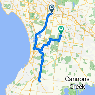
 Hanna St, Noble Park to Scott Ward, Wantirna South
- Distance
- 14.4 km
- Ascent
- 112 m
- Descent
- 80 m
- Location
- Dandenong, Victoria, Australia
 Route in Dandenong
- Distance
- 63.5 km
- Ascent
- 200 m
- Descent
- 200 m
- Location
- Dandenong, Victoria, Australia
Open it in the app