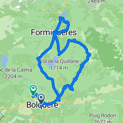
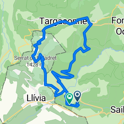
ALTO DE LA ESTACIÓN DE ESQUÍ DE ERR-PUIGMAL (por la D89)
A cycling route starting in Osséja, Languedoc-Roussillon-Midi-Pyrénées, France.
Overview
About this route
- -:--
- Duration
- 17.3 km
- Distance
- 1,000 m
- Ascent
- 85 m
- Descent
- ---
- Avg. speed
- ---
- Max. altitude
Route photos
Route quality
Waytypes & surfaces along the route
Waytypes
Road
13.8 km
(80 %)
Access road
2.7 km
(15 %)
Surfaces
Paved
17.2 km
(99 %)
Asphalt
17.2 km
(99 %)
Undefined
0.1 km
(<1 %)
Continue with Bikemap
Use, edit, or download this cycling route
You would like to ride ALTO DE LA ESTACIÓN DE ESQUÍ DE ERR-PUIGMAL (por la D89) or customize it for your own trip? Here is what you can do with this Bikemap route:
Free features
- Save this route as favorite or in collections
- Copy & plan your own version of this route
- Sync your route with Garmin or Wahoo
Premium features
Free trial for 3 days, or one-time payment. More about Bikemap Premium.
- Navigate this route on iOS & Android
- Export a GPX / KML file of this route
- Create your custom printout (try it for free)
- Download this route for offline navigation
Discover more Premium features.
Get Bikemap PremiumFrom our community
Other popular routes starting in Osséja
- Ariège Est 21
- Distance
- 518.4 km
- Ascent
- 8,555 m
- Descent
- 9,036 m
- Location
- Osséja, Languedoc-Roussillon-Midi-Pyrénées, France
- TDFEtape 3
- Distance
- 92 km
- Ascent
- 1,295 m
- Descent
- 2,335 m
- Location
- Osséja, Languedoc-Roussillon-Midi-Pyrénées, France
- Prades-Saillagouse60km970u1970d6h
- Distance
- 59.4 km
- Ascent
- 739 m
- Descent
- 1,694 m
- Location
- Osséja, Languedoc-Roussillon-Midi-Pyrénées, France
- Tour villages SUD
- Distance
- 45.2 km
- Ascent
- 1,129 m
- Descent
- 1,129 m
- Location
- Osséja, Languedoc-Roussillon-Midi-Pyrénées, France
- De Rue d'Espagne 26, Palau-de-Cerdagne a Route sans nom, Osséja
- Distance
- 9.8 km
- Ascent
- 934 m
- Descent
- 25 m
- Location
- Osséja, Languedoc-Roussillon-Midi-Pyrénées, France
- Perche,Les Angles, Creu , LLose
- Distance
- 46.4 km
- Ascent
- 1,028 m
- Descent
- 1,023 m
- Location
- Osséja, Languedoc-Roussillon-Midi-Pyrénées, France
- VOLTA A PRADES
- Distance
- 139.6 km
- Ascent
- 2,447 m
- Descent
- 2,447 m
- Location
- Osséja, Languedoc-Roussillon-Midi-Pyrénées, France
- Pas de Pallères (de Font Romeu) 2013
- Distance
- 97.6 km
- Ascent
- 1,773 m
- Descent
- 1,957 m
- Location
- Osséja, Languedoc-Roussillon-Midi-Pyrénées, France
Open it in the app