
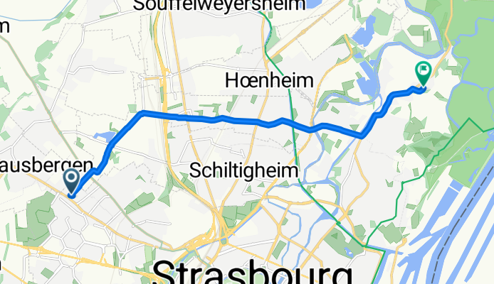
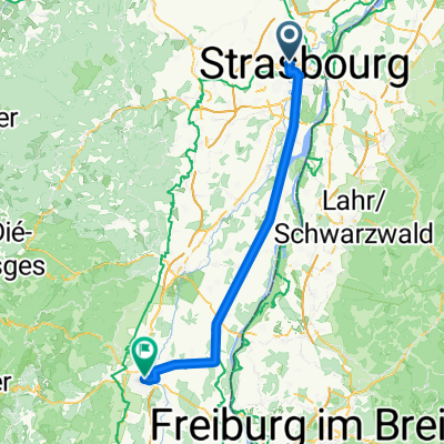
De 31 Rue d'Otterswiller, Strasbourg à 27 Rue de Bussière, Strasbourg
A cycling route starting in Oberhausbergen, Alsace-Champagne-Ardenne-Lorraine, France.
Overview
About this route
- 41 min
- Duration
- 9.6 km
- Distance
- 93 m
- Ascent
- 102 m
- Descent
- 13.9 km/h
- Avg. speed
- ---
- Max. altitude

Route quality
Waytypes & surfaces along the route
Waytypes
Road
2.1 km
(21 %)
Quiet road
1.9 km
(20 %)
Surfaces
Paved
7 km
(73 %)
Asphalt
7 km
(73 %)
Paving stones
0 km
(<1 %)
Undefined
2.6 km
(27 %)
Continue with Bikemap
Use, edit, or download this cycling route
You would like to ride De 31 Rue d'Otterswiller, Strasbourg à 27 Rue de Bussière, Strasbourg or customize it for your own trip? Here is what you can do with this Bikemap route:
Free features
- Save this route as favorite or in collections
- Copy & plan your own version of this route
- Sync your route with Garmin or Wahoo
Premium features
Free trial for 3 days, or one-time payment. More about Bikemap Premium.
- Navigate this route on iOS & Android
- Export a GPX / KML file of this route
- Create your custom printout (try it for free)
- Download this route for offline navigation
Discover more Premium features.
Get Bikemap PremiumFrom our community
Other popular routes starting in Oberhausbergen
 Moderate route in Strasbourg
- Distance
- 9.1 km
- Ascent
- 19 m
- Descent
- 23 m
- Location
- Oberhausbergen, Alsace-Champagne-Ardenne-Lorraine, France
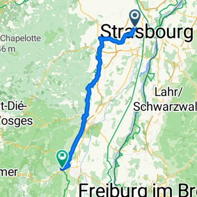 Ober - Turckheim
- Distance
- 90.8 km
- Ascent
- 489 m
- Descent
- 402 m
- Location
- Oberhausbergen, Alsace-Champagne-Ardenne-Lorraine, France
 De Rue Claudie Haigneré à Rue Romaine
- Distance
- 75.6 km
- Ascent
- 112 m
- Descent
- 73 m
- Location
- Oberhausbergen, Alsace-Champagne-Ardenne-Lorraine, France
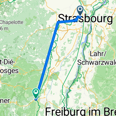
 oberhausbergen-Kalsrhue
- Distance
- 77.6 km
- Ascent
- 36 m
- Descent
- 73 m
- Location
- Oberhausbergen, Alsace-Champagne-Ardenne-Lorraine, France
 Oberhausbergen - Wintzenheim
- Distance
- 97.3 km
- Ascent
- 616 m
- Descent
- 524 m
- Location
- Oberhausbergen, Alsace-Champagne-Ardenne-Lorraine, France
 256 M 31, Oberhausbergen à 8 Allée du Général Rouvillois, Strasbourg
- Distance
- 6.5 km
- Ascent
- 21 m
- Descent
- 22 m
- Location
- Oberhausbergen, Alsace-Champagne-Ardenne-Lorraine, France
 Oberhausbergen-Karlsrhue rive droite pont a Rheinau
- Distance
- 83.4 km
- Ascent
- 22 m
- Descent
- 65 m
- Location
- Oberhausbergen, Alsace-Champagne-Ardenne-Lorraine, France
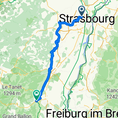
 Da Allée Cérès a COLMAR - Rapp trace
- Distance
- 74.9 km
- Ascent
- 111 m
- Descent
- 62 m
- Location
- Oberhausbergen, Alsace-Champagne-Ardenne-Lorraine, France
Open it in the app