B2B00873 55423>55404 via Bryant Av, 3rd Av S, Park Av
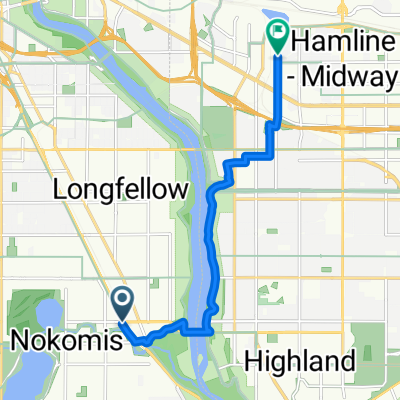
A cycling route starting in Richfield, Minnesota, United States of America.
Overview
About this route
Short travel on Penn Av needed to get across 62.Â
Â
Return trip can take 24th to Stevens Av and then head south to 28th St to get onto Portland (one ways).Â
- -:--
- Duration
- 13.5 km
- Distance
- 41 m
- Ascent
- 34 m
- Descent
- ---
- Avg. speed
- 285 m
- Avg. speed
Route quality
Waytypes & surfaces along the route
Waytypes
Quiet road
6.1 km
(46 %)
Road
5.8 km
(43 %)
Surfaces
Paved
4.8 km
(35 %)
Asphalt
4.6 km
(34 %)
Concrete
0.2 km
(2 %)
Undefined
8.7 km
(65 %)
Route highlights
Points of interest along the route
Point of interest after 2 km
Path runs behind parking lot
Continue with Bikemap
Use, edit, or download this cycling route
You would like to ride B2B00873 55423>55404 via Bryant Av, 3rd Av S, Park Av or customize it for your own trip? Here is what you can do with this Bikemap route:
Free features
- Save this route as favorite or in collections
- Copy & plan your own version of this route
- Sync your route with Garmin or Wahoo
Premium features
Free trial for 3 days, or one-time payment. More about Bikemap Premium.
- Navigate this route on iOS & Android
- Export a GPX / KML file of this route
- Create your custom printout (try it for free)
- Download this route for offline navigation
Discover more Premium features.
Get Bikemap PremiumFrom our community
Other popular routes starting in Richfield
- B2B00056 55407>55122 via Mnnhaha Pwy, Bg Rvrs Trl
- Distance
- 17.7 km
- Ascent
- 99 m
- Descent
- 109 m
- Location
- Richfield, Minnesota, United States of America
- Perfect Circle Minneapolis Bike Route
- Distance
- 36.4 km
- Ascent
- 117 m
- Descent
- 117 m
- Location
- Richfield, Minnesota, United States of America
- B2B00042 55419 > 55422 via Greenway, Cedar Lake, and Theo Wirth
- Distance
- 13.3 km
- Ascent
- 61 m
- Descent
- 59 m
- Location
- Richfield, Minnesota, United States of America
- 30 miler
- Distance
- 48.5 km
- Ascent
- 308 m
- Descent
- 310 m
- Location
- Richfield, Minnesota, United States of America
- B2B00920 55407>55438 via Portland, Mnnha Pwy, Logan, Hylund Prk
- Distance
- 23.7 km
- Ascent
- 98 m
- Descent
- 95 m
- Location
- Richfield, Minnesota, United States of America
- 31 Miles South to North, to Victory Memorial & Minnehaha
- Distance
- 50.9 km
- Ascent
- 124 m
- Descent
- 124 m
- Location
- Richfield, Minnesota, United States of America
- B2B00114 55409 >55414 via Park Ave and stone arch bridge
- Distance
- 9 km
- Ascent
- 48 m
- Descent
- 57 m
- Location
- Richfield, Minnesota, United States of America
- East 46th Street 180, Minneapolis to Union Depot, Saint Paul
- Distance
- 22.2 km
- Ascent
- 153 m
- Descent
- 185 m
- Location
- Richfield, Minnesota, United States of America