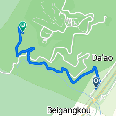
- 239.6 km
- 3,552 m
- 3,548 m
- Yilan, Taiwan, Taiwan
99.10.04-06環宜花
A cycling route starting in Yilan, Taiwan, Taiwan.
Overview
About this route
<span style="font-size: 14pt; font-family: 標楷體;">Day1 (10/4)</span><span style="font-size: 14pt; font-family: 標楷體;">:</span>
<span style="font-size: 14pt; font-family: 標楷體;">花蓮 → 羅東 → 三星 → 天送埤 → 牛鬥僑 → 英士 → 棲蘭 → 留茂安 → 四季 → 南山<span style="color: black;"> <span> </span></span><span style="border: 1pt solid windowtext; padding: 0cm;" lang="EN-US"> </span></span>
<span style="font-size: 14pt; font-family: 標楷體;"><span> </span></span>
<span style="font-size: 14pt; font-family: 標楷體;">Day2 (10/5)</span><span style="font-size: 14pt; font-family: 標楷體;">:</span>
<span style="font-size: 14pt; font-family: 標楷體;">南山 → 思源啞口 → 武陵農場路口 → 志良 → 環山 → 松茂 → 梨山<span lang="EN-US"><span> </span></span></span>
<span style="font-size: 14pt; font-family: 標楷體;"> </span>
<span style="font-size: 14pt; font-family: 標楷體;">Day3 (10/06)</span><span style="font-size: 14pt; font-family: 標楷體;">:</span>
<span style="font-size: 14pt; font-family: 標楷體;">梨山 → 大禹嶺 → 關原 → 碧綠 → 慈恩 → 新白楊 → 洛韶 → 天祥 → 太魯閣口 → <span lang="EN-US">HOME<span> </span></span></span>
- -:--
- Duration
- 239.6 km
- Distance
- 3,552 m
- Ascent
- 3,548 m
- Descent
- ---
- Avg. speed
- ---
- Max. altitude
created this 15 years ago
Route highlights
Points of interest along the route
Point of interest after 64.5 km
day1 南山國小紮營
Point of interest after 110.3 km
day2 梨山國小紮營
Point of interest after 239.5 km
SWEET HOME
Continue with Bikemap
Use, edit, or download this cycling route
You would like to ride 99.10.04-06環宜花 or customize it for your own trip? Here is what you can do with this Bikemap route:
Free features
- Save this route as favorite or in collections
- Copy & plan your own version of this route
- Split it into stages to create a multi-day tour
- Sync your route with Garmin or Wahoo
Premium features
Free trial for 3 days, or one-time payment. More about Bikemap Premium.
- Navigate this route on iOS & Android
- Export a GPX / KML file of this route
- Create your custom printout (try it for free)
- Download this route for offline navigation
Discover more Premium features.
Get Bikemap PremiumFrom our community
Other popular routes starting in Yilan
- 99.10.04-06環宜花
- 2013 Bike宜蘭媽祖古廟騎求平安
- 106.1 km
- 125 m
- 125 m
- Yilan, Taiwan, Taiwan
- day01
- 97.6 km
- 592 m
- 550 m
- Yilan, Taiwan, Taiwan
- 20090705 宜蘭中橫 美利達杯自我挑戰賽
- 81.3 km
- 2,020 m
- 86 m
- Yilan, Taiwan, Taiwan
- 環島Day8-2
- 13.3 km
- 19 m
- 17 m
- Yilan, Taiwan, Taiwan
- 金車外澳館到城堡館
- 1.8 km
- 279 m
- 67 m
- Yilan, Taiwan, Taiwan
- 雙泰北橫#D2
- 87.1 km
- 1,406 m
- 272 m
- Yilan, Taiwan, Taiwan
- 蘭陽平原
- 78.4 km
- 115 m
- 115 m
- Yilan, Taiwan, Taiwan
Open it in the app


